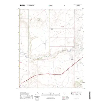
2023 Map of Tetilla Peak
USGS Topo · Published 2023About this map
The Santa Fe River carves through a landscape of high mesas and deep canyons, defining the transition between the Caja del Rio Plateau and the La Majada Mesa. This contemporary survey highlights the enduring path of El Camino Real De Tierra Adentro Nht Trl, reflecting centuries of travel through the rugged corridor of La Bajada Hill. Small settlements like La Bajada, with its associated La Bajada Cem, and La Cienega remain centered around the vital water of the river and Alamo Creek. The terrain is dominated by volcanic landmarks including Tetilla Peak and the southern Cerrillos Hills, illustrating the geological complexity of the Santa Fe National Forest. This map captures a modern view of a region where historic trails and modern infrastructure follow the same geographic contours carved by the river's drainage.
Find a feature on this map
29 named features on this map. Tap any name to fly to it.
Don’t see what you’re looking for? This feature index may not catch every label — zoom into the map to look around manually.
Map Details
Editions of this 2023 Tetilla Peak Map
This is the sole edition of this map. No revisions or reprints were ever made.
Other maps of this area

1892 · San Pedro
USGS Topo · 1:125,000

1892 · Santa Clara
USGS Topo · 1:125,000

1951 · Agua Fria
USGS Topo · 1:24,000

1951 · Turquoise Hill
USGS Topo · 1:24,000

1952 · Turquoise Hill
USGS Topo · 1:24,000

1952 · Montoso Peak
USGS Topo · 1:24,000

1953 · Cochiti Dam
USGS Topo · 1:24,000

1953 · Santo Domingo Pueblo
USGS Topo · 1:24,000

1953 · Tetilla Peak
USGS Topo · 1:24,000

1953 · Agua Fria
USGS Topo · 1:62,500