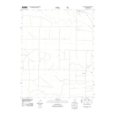
2011 Map of Texline South
USGS Topo · Published 2011About this map
Texline sits at the northern edge of this Panhandle landscape, where the high plains of Dallam County meet the New Mexico border. The area is defined by a grid of rural roads and cattle country, drained by the seasonal flows of Perico Creek and West Rita Blanca Creek. This 2011 survey reveals the infrastructure of modern agribusiness, notably the Circle H Farms Ltd Airport, which serves as a landmark for the large-scale farming operations in this corner of Texas. The terrain is relatively flat, punctuated by natural drainage features like Sand Draw and Junkyard Creek. A network of named county roads, such as Dixon Rd and Carrizo Rd, provides the backbone for the ranching economy, connecting remote homesteads and farms back to the railroad corridor at the town site.
Find a feature on this map
21 named features on this map. Tap any name to fly to it.
Don’t see what you’re looking for? This feature index may not catch every label — zoom into the map to look around manually.
Map Details
Editions of this 2011 Texline South Map
This is the sole edition of this map. No revisions or reprints were ever made.
Other maps of this area
1954 · Dalhart
USGS Topo · 1:250,000
1958 · Dalhart
USGS Topo · 1:250,000
1962 · Dalhart
USGS Topo · 1:250,000
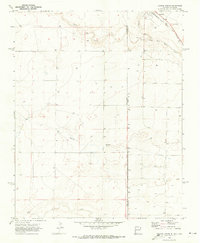
1970 · Texline South
USGS Topo · 1:24,000
1970 · Clayton
USGS Topo · 1:24,000
1970 · Clayton SW
USGS Topo · 1:24,000
1970 · Texline North
USGS Topo · 1:24,000
1970 · Sedan
USGS Topo · 1:24,000
1970 · Sedan NE
USGS Topo · 1:24,000
1973 · Corlena
USGS Topo · 1:24,000