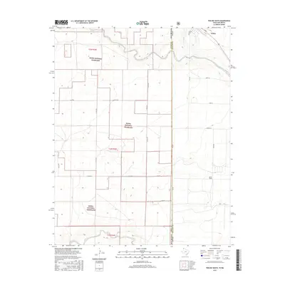
2016 Map of Texline South
USGS Topo · Published 2016About this map
Texline sits at the high-plains crossroads where the Texas Panhandle meets New Mexico, serving as a primary point of entry along the state line. This 2016 survey highlights the expansive Kiowa National Grassland, which dominates the landscape west of the border in Union County. The area’s drainage is defined by the winding courses of Perico Cr and W Rita Blanca Cr, along with the curiously named Junkyard Cr. Local history is anchored by the Texline Cem and a grid of rural lanes like Sheets Ln and Hershey Ln that segment the surrounding ranchland. South of the town center, the terrain opens into Sand Draw, illustrating the arid, transitionary geography characteristic of the Llano Estacado's northern reaches.
Find a feature on this map
28 named features on this map. Tap any name to fly to it.
Don’t see what you’re looking for? This feature index may not catch every label — zoom into the map to look around manually.
Map Details
Editions of this 2016 Texline South Map
This is the sole edition of this map. No revisions or reprints were ever made.
Other maps of this area
1954 · Dalhart
USGS Topo · 1:250,000
1958 · Dalhart
USGS Topo · 1:250,000
1962 · Dalhart
USGS Topo · 1:250,000
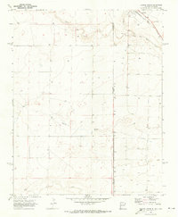
1970 · Texline South
USGS Topo · 1:24,000
1970 · Clayton
USGS Topo · 1:24,000
1970 · Clayton SW
USGS Topo · 1:24,000
1970 · Texline North
USGS Topo · 1:24,000
1970 · Sedan
USGS Topo · 1:24,000
1970 · Sedan NE
USGS Topo · 1:24,000
1973 · Corlena
USGS Topo · 1:24,000