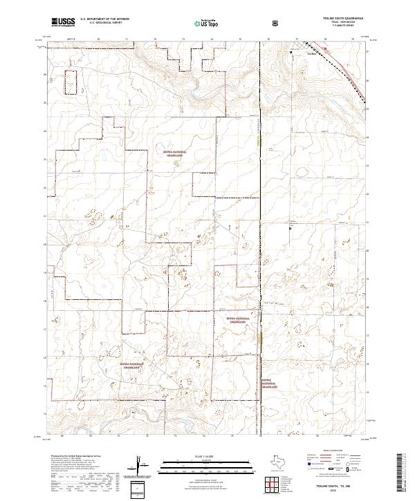
2022 Map of Texline South
USGS Topo · Published 2022About this map
Kiowa National Grassland dominates the high plains landscape where the corner of the Texas Panhandle meets the New Mexico state line. This 2022 survey captures the expansive shortgrass prairie and the drainage systems that define the area, including the intermittent flows of W Rita Blanca Cr and Perico Cr. The settlement of Texline sits at the very edge of the state boundary, serving as a gateway between Union County and Dallam County. The map reveals a grid of rural roads and land tracts, such as t24n r36e and t24n r37e, which reflect the region's agricultural and ranching heritage. Local history and genealogy are anchored at the Texline Cem and Texline Mennonite Cem, located just south of the town center. To the south, the terrain descends into the Sand Draw and toward the banks of Carrizo Cr, illustrating the rugged topography of the Llano Estacado.
Find a feature on this map
24 named features on this map. Tap any name to fly to it.
Don’t see what you’re looking for? This feature index may not catch every label — zoom into the map to look around manually.
Map Details
Editions of this 2022 Texline South Map
This is the sole edition of this map. No revisions or reprints were ever made.
Other maps of this area

1954 · Dalhart
USGS Topo · 1:250,000

1958 · Dalhart
USGS Topo · 1:250,000

1962 · Dalhart
USGS Topo · 1:250,000

1970 · Texline South
USGS Topo · 1:24,000

1970 · Clayton
USGS Topo · 1:24,000

1970 · Clayton SW
USGS Topo · 1:24,000

1970 · Texline North
USGS Topo · 1:24,000

1970 · Sedan
USGS Topo · 1:24,000

1970 · Sedan NE
USGS Topo · 1:24,000

1973 · Corlena
USGS Topo · 1:24,000