
1936 Map of Tharpe
USGS Topo · Published 1936About this map
The Cumberland River corridor in Stewart County serves as the primary artery for transport and commerce in this 1936 survey, marked by a series of landings that connect the river to the interior settlements. Landings such as Nevilles Landing, Elliotts Landing, and Brandon Landing define the eastern edge of the quadrangle, illustrating the importance of river access before the modernization of the road network. Inland, the terrain is dominated by the Tennessee River Divide, a prominent ridge line that separates the complex network of hollows and creeks, including Crutcher Hollow and New Ground Hollow.
Find a feature on this map
52 named features on this map. Tap any name to fly to it.
Don’t see what you’re looking for? This feature index may not catch every label — zoom into the map to look around manually.
Map Details
Editions of this 1936 Tharpe Map
This is the sole edition of this map. No revisions or reprints were ever made.
Other maps of this area

1936 · Hamlin
USGS Topo · 1:24,000

1936 · Centerville Landing
USGS Topo · 1:24,000

1936 · Rushing
USGS Topo · 1:24,000

1936 · Standing Rock
USGS Topo · 1:24,000

1936 · Dover
USGS Topo · 1:24,000

1950 · Rushing Creek
USGS Topo · 1:24,000
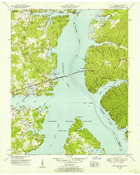
1950 · Paris Landing
USGS Topo · 1:24,000

1950 · Standing Rock
USGS Topo · 1:24,000
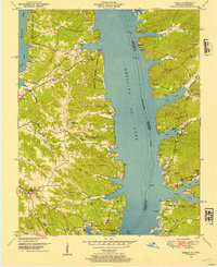
1950 · Hamlin
USGS Topo · 1:24,000

1950 · Dover
USGS Topo · 1:24,000