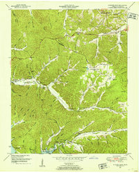
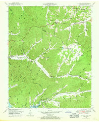
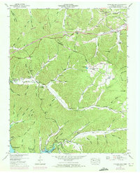
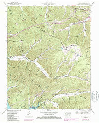
1950 Map of Standing Rock
USGS Topo · Published 1953About this map
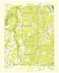
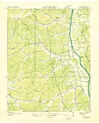
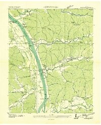
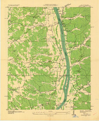
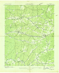
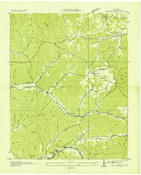
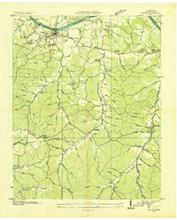
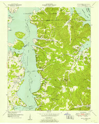
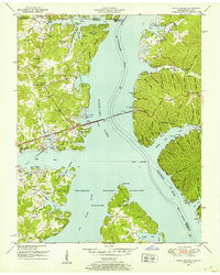
Tennessee Ridge and Pumpkin Ridge define the undulating landscape of Stewart County in the early 1950s, a region transitioning in the wake of the Tennessee Valley Authority’s mid-century water projects. The map centers on the small settlement of Standing Rock, where Standing Rock Creek winds through a system of hollows toward the newly formed Kentucky Lake. This survey captures the social fabric of rural Tennessee through its concentration of local landmarks, including Standing Rock Church, McGee Chapel, and Taylor Chapel. Genealogists will find a wealth of specific local data, from family-named cemeteries like Martin Cem and Sexton Cem to educational hubs such as Mulberry Hill School and Midway Sch. The road network, featuring the Austin Peay Memorial Highway, connects these remote reaches to Asbury and the surrounding river-carved terrain.
Find a feature on this map
59 named features on this map. Tap any name to fly to it.
Don’t see what you’re looking for? This feature index may not catch every label — zoom into the map to look around manually.
Map Details
Editions of this 1950 Standing Rock Map
4 editions found
Other maps of this area
1936 · Poplar Creek
USGS Topo · 1:24,000
1936 · Tharpe
USGS Topo · 1:24,000
1936 · McKinnon
USGS Topo · 1:24,000
1936 · Hamlin
USGS Topo · 1:24,000
1936 · Stewart
USGS Topo · 1:24,000

1936 · Centerville Landing
USGS Topo · 1:24,000
1936 · Standing Rock
USGS Topo · 1:24,000
1936 · Dover
USGS Topo · 1:24,000
1949 · Poplar Creek
USGS Topo · 1:24,000
1950 · Paris Landing
USGS Topo · 1:24,000