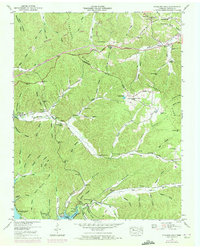
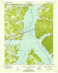
1950 Map of Standing Rock
USGS Topo · Published 1972About this map
Standing Rock and its namesake creek anchor this mid-century view of the Tennessee landscape just east of the Kentucky Lake shoreline. The area is defined by a dense network of hollows, such as Lissie Milton Hollow and Opossum Bullpen Hollow, that separate ridges like the Tennessee Valley Divide. This map captures a community oriented around country churches and family burial grounds, including the Standing Rock Church, McGee Chapel, and Mulberry Hill Cem. The road system, featuring the Memorial Highway and the Austin Peay Tennessee Ridge Road, follows the natural contours of the land. Evidence of earlier settlement is found in small labels like Ruins near Cote Hollow, while numerous springs like Coz Spring and Bubbling Spring indicate the primary water sources for the homesteads located throughout these valleys.
Find a feature on this map
82 named features on this map. Tap any name to fly to it.
Don’t see what you’re looking for? This feature index may not catch every label — zoom into the map to look around manually.
Map Details
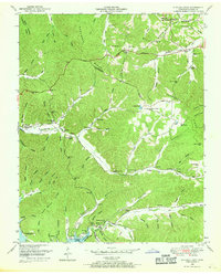
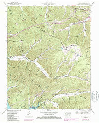
Editions of this 1950 Standing Rock Map
4 editions found

Other maps of this area

1936 · Poplar Creek
USGS Topo · 1:24,000

1936 · Tharpe
USGS Topo · 1:24,000

1936 · McKinnon
USGS Topo · 1:24,000

1936 · Hamlin
USGS Topo · 1:24,000

1936 · Stewart
USGS Topo · 1:24,000

1936 · Centerville Landing
USGS Topo · 1:24,000

1936 · Standing Rock
USGS Topo · 1:24,000

1936 · Dover
USGS Topo · 1:24,000
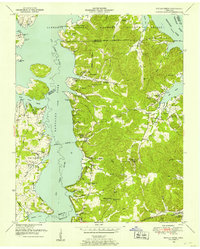
1949 · Poplar Creek
USGS Topo · 1:24,000
1950 · Paris Landing
USGS Topo · 1:24,000