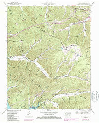
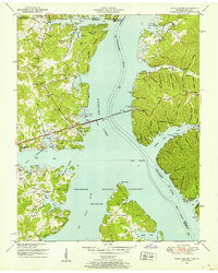
1950 Map of Standing Rock
USGS Topo · Published 1987About this map
Pumpkin Ridge and the Tennessee Valley Divide define this landscape of deep hollows and high ridges between the Tennessee River and Lick Creek. Following a 1947 aerial survey, this map captures a network of rural communities centered on landmark institutions like Trinity Ch and McGee Chapel. The terrain is marked by numerous family-named landmarks, including McClanahan Cem and Sexton Cem, which reflect long-standing settlement patterns in the Between the Rivers region. To the west, Kentucky Lake occupies the lower elevations, while Lake Barkley is visible to the northeast, illustrating the massive hydrological changes of the mid-20th century. Notable elevation points like Hickman Creek Hill and the fire tower provided essential lookout points over the heavily wooded hills and winding watercourses like Standing Rock Creek.
Find a feature on this map
108 named features on this map. Tap any name to fly to it.
Don’t see what you’re looking for? This feature index may not catch every label — zoom into the map to look around manually.
Map Details
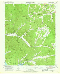
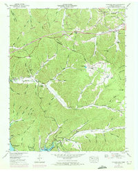
Editions of this 1950 Standing Rock Map
4 editions found

Other maps of this area

1936 · Poplar Creek
USGS Topo · 1:24,000

1936 · Tharpe
USGS Topo · 1:24,000

1936 · McKinnon
USGS Topo · 1:24,000

1936 · Hamlin
USGS Topo · 1:24,000

1936 · Stewart
USGS Topo · 1:24,000

1936 · Centerville Landing
USGS Topo · 1:24,000

1936 · Standing Rock
USGS Topo · 1:24,000

1936 · Dover
USGS Topo · 1:24,000
1949 · Poplar Creek
USGS Topo · 1:24,000
1950 · Paris Landing
USGS Topo · 1:24,000