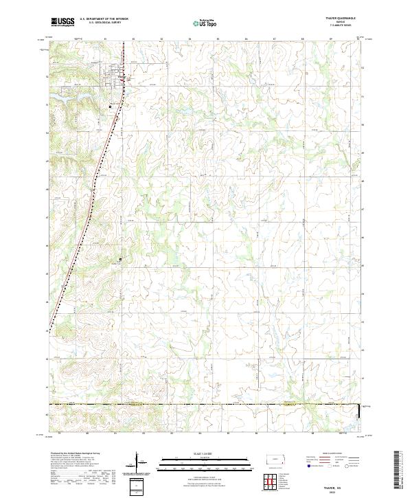
2022 Map of Thayer
USGS Topo · Published 2022About this map
Thayer serves as the primary hub of this Neosho County survey, where a structured grid of streets including Neosho St and Labette St meets the rural landscape of southeastern Kansas. The town’s social and historical geography is anchored by City Lake and the Thayer Cem just to the west. Further south, the rural character is defined by the boundary between Neosho and Labette counties, a transition marked by a shift in section lines and local landmarks like South Center Cem and the small landing strip at Pearce Field. Numerous waterways, including Big Hill Cr and Labette Creek, wind through the sectioned farmland, illustrating the drainage patterns that have historically dictated road placement and land use. The presence of these named creeks and well-distributed section roads provides a clear record of twentieth-century land division and agricultural settlement in the region.
Find a feature on this map
39 named features on this map. Tap any name to fly to it.
Don’t see what you’re looking for? This feature index may not catch every label — zoom into the map to look around manually.
Map Details
Editions of this 2022 Thayer Map
This is the sole edition of this map. No revisions or reprints were ever made.
Other maps of this area

1886 · Fredonia
USGS Topo · 1:125,000

1886 · Iola
USGS Topo · 1:125,000

1886 · Independence
USGS Topo · 1:125,000

1886 · Parsons
USGS Topo · 1:125,000

1893 · Iola
USGS Topo · 1:125,000

1893 · Parsons
USGS Topo · 1:125,000

1894 · Fredonia
USGS Topo · 1:125,000

1894 · Independence
USGS Topo · 1:125,000

1904 · Iola
USGS Topo · 1:125,000

1905 · Independence
USGS Topo · 1:125,000