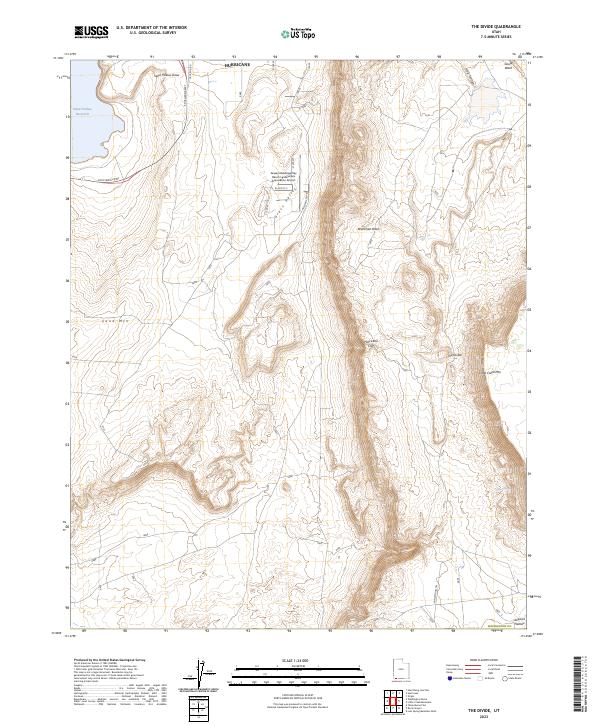
2023 Map of The Divide
USGS Topo · Published 2023About this map
The dramatic Hurricane Cliffs dominate the central portion of this survey, marking a sharp vertical transition between the lower valley and the elevated Little Creek Mtn. The landscape is defined by its arid drainage patterns, with Sand Hollow Draw, Workman Wash, and Frog Hollow carving through the terrain toward the southern limits of Hurricane. In the east, The Divide provides a natural passage between the mesas, leading toward the Uinkaret Plateau.
Find a feature on this map
26 named features on this map. Tap any name to fly to it.
Don’t see what you’re looking for? This feature index may not catch every label — zoom into the map to look around manually.
Map Details
Editions of this 2023 The Divide Map
This is the sole edition of this map. No revisions or reprints were ever made.
Other maps of this area

1885 · St. George
USGS Topo · 1:250,000

1886 · Mt. Trumbull
USGS Topo · 1:250,000

1891 · St. George
USGS Topo · 1:250,000

1892 · Mt. Trumbull
USGS Topo · 1:250,000

1953 · Cedar City
USGS Topo · 1:250,000

1953 · Grand Canyon
USGS Topo · 1:250,000

1954 · La Verkin 4 NW
USGS Topo · 1:24,000

1954 · La Verkin 4 SW
USGS Topo · 1:24,000

1954 · Hurricane Cliffs 2 NW
USGS Topo · 1:24,000

1954 · La Verkin 3 NW
USGS Topo · 1:24,000