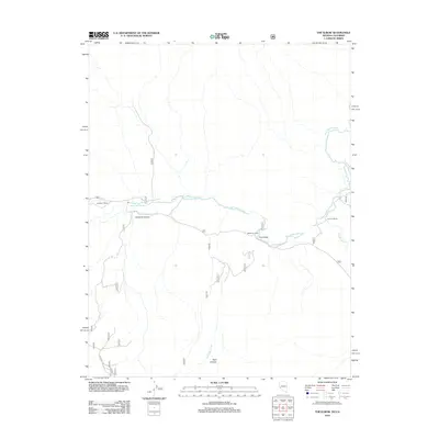
2012 Map of The Elbow
USGS Topo · Published 2012About this map
The East Walker River dominates this portion of the Nevada-California borderlands, carving a path through the high desert terrain south of Lyon County. At the center of the sheet, the river makes a sharp, distinctive bend known as The Elbow, a landmark that serves as the namesake for the quadrangle. The riparian corridor contrasts with the arid surrounds of Sonoma Canyon and East Canyon, providing a critical water source for local operations such as Burkham Ranch and Ravenel Ranch.
Find a feature on this map
24 named features on this map. Tap any name to fly to it.
Don’t see what you’re looking for? This feature index may not catch every label — zoom into the map to look around manually.
Map Details
Editions of this 2012 The Elbow Map
This is the sole edition of this map. No revisions or reprints were ever made.
Other maps of this area

1891 · Wellington
USGS Topo · 1:125,000

1893 · Wellington
USGS Topo · 1:125,000

1909 · Hawthorne
USGS Topo · 1:250,000

1909 · Bridgeport
USGS Topo · 1:125,000

1911 · Bridgeport
USGS Topo · 1:125,000

1911 · Hawthorne
USGS Topo · 1:250,000

1915 · Hawthorne
USGS Topo · 1:250,000

1920 · Bridgeport
USGS Topo · 1:125,000

1948 · Walker Lake
USGS Topo · 1:250,000

1956 · Mt. Grant
USGS Topo · 1:62,500