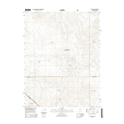
2014 Map of The Elbow
USGS Topo · Published 2014About this map
The East Walker River carves a significant path through this high-altitude landscape within the Toiyabe National Forest, defining the drainage patterns and historical movement through the region. This 2014 survey captures the distinct topography where the river makes a sharp bend at The Elbow, a site that anchors the surrounding canyon systems. The map details a complex intersection of administrative boundaries, including the state line between Nevada and California, and the junction of Lyon and Mineral counties. Significant local landmarks such as Sonoma Canyon, Dead Ox Pitch, and East Canyon are clearly delineated, illustrating the steep relief and watershed of Rough Cr and Red Wash Cr. The absence of large settlements highlights the area's character as a managed wilderness and resource corridor.
Find a feature on this map
16 named features on this map. Tap any name to fly to it.
Don’t see what you’re looking for? This feature index may not catch every label — zoom into the map to look around manually.
Map Details
Editions of this 2014 The Elbow Map
This is the sole edition of this map. No revisions or reprints were ever made.
Other maps of this area

1891 · Wellington
USGS Topo · 1:125,000

1893 · Wellington
USGS Topo · 1:125,000

1909 · Hawthorne
USGS Topo · 1:250,000

1909 · Bridgeport
USGS Topo · 1:125,000

1911 · Bridgeport
USGS Topo · 1:125,000

1911 · Hawthorne
USGS Topo · 1:250,000

1915 · Hawthorne
USGS Topo · 1:250,000

1920 · Bridgeport
USGS Topo · 1:125,000

1948 · Walker Lake
USGS Topo · 1:250,000

1956 · Mt. Grant
USGS Topo · 1:62,500