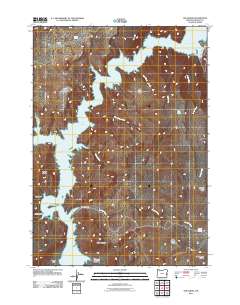
2011 Map of The Elbow
USGS Topo · Published 2011About this map
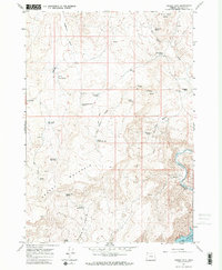
Lake Owyhee dominates this Malheur County landscape, winding through steep volcanic terrain where the Owyhee River was harnessed. The water fills deep canyons and basins, creating distinctive landforms such as The Elbow, Big Elbow, and Burnt Elbow. Access to the shoreline is concentrated along Fisherman Rd and within the boundaries of Lake Owyhee State Park, reflecting the area's importance for regional recreation and water management.
Find a feature on this map
25 named features on this map. Tap any name to fly to it.
Don’t see what you’re looking for? This feature index may not catch every label — zoom into the map to look around manually.
Map Details
Editions of this 2011 The Elbow Map
This is the sole edition of this map. No revisions or reprints were ever made.
Other maps of this area

1906 · Mitchell Butte
USGS Topo · 1:125,000

1955 · Boise
USGS Topo · 1:250,000

1958 · Boise
USGS Topo · 1:250,000

1962 · Boise
USGS Topo · 1:250,000

1967 · Pelican Point
USGS Topo · 1:24,000
1967 · Owyhee Dam
USGS Topo · 1:24,000
1967 · Sourdough Spring
USGS Topo · 1:24,000
1967 · The Elbow
USGS Topo · 1:24,000

1967 · Twin Springs
USGS Topo · 1:24,000
1967 · Grassy Mtn
USGS Topo · 1:24,000