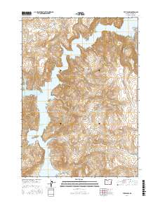
2017 Map of The Elbow
USGS Topo · Published 2017About this map
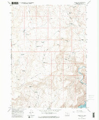
Lake Owyhee defines the western landscape of this remote corner of Malheur County, its waters filling the narrow winding canyons of the Owyhee River system. The terrain is characterized by sharp relief and isolated landmarks such as Nannys Nipple, Iron Mtn, and the distinctive river bends known as The Elbow and Big Elbow. These geological features, alongside the massive Owyhee Ridge, dictate the movement of water through drainages like Cherry Cr and Wild Horse Cr. Evidence of the area's arid nature and specialized water sources appear in the naming of Oxyoke Spring and Rookie Canyon Spring, while the presence of Fisherman Rd on the eastern edge points to the recreational draw of these high desert canyons. This 2017 survey serves as a modern record of a landscape largely untouched by dense settlement, where topography and hydrology remain the dominant forces.
Find a feature on this map
30 named features on this map. Tap any name to fly to it.
Don’t see what you’re looking for? This feature index may not catch every label — zoom into the map to look around manually.
Map Details
Editions of this 2017 The Elbow Map
This is the sole edition of this map. No revisions or reprints were ever made.
Other maps of this area

1906 · Mitchell Butte
USGS Topo · 1:125,000

1955 · Boise
USGS Topo · 1:250,000

1958 · Boise
USGS Topo · 1:250,000

1962 · Boise
USGS Topo · 1:250,000

1967 · Pelican Point
USGS Topo · 1:24,000
1967 · Owyhee Dam
USGS Topo · 1:24,000
1967 · Sourdough Spring
USGS Topo · 1:24,000
1967 · The Elbow
USGS Topo · 1:24,000

1967 · Twin Springs
USGS Topo · 1:24,000
1967 · Grassy Mtn
USGS Topo · 1:24,000