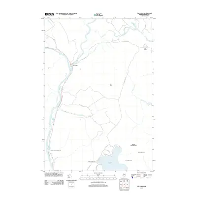
2011 Map of The Forks
USGS Topo · Published 2011About this map
The confluence of the Kennebec River and the Dead River anchor this Somerset County landscape, marking the small settlement of The Forks. This area is defined by its dramatic hydrology and river-driven recreation, illustrated by features like Moxie Falls and the Northern Outdoors Campground. The terrain rises sharply from the river valleys to prominent summits such as Pleasant Pond Mountain, Middle Mountain, and South Mountain, which overlook the clear waters of Pleasant Pond.
Find a feature on this map
43 named features on this map. Tap any name to fly to it.
Don’t see what you’re looking for? This feature index may not catch every label — zoom into the map to look around manually.
Map Details
Editions of this 2011 The Forks Map
This is the sole edition of this map. No revisions or reprints were ever made.
Other maps of this area

1903 · Bingham
USGS Topo · 1:62,500

1905 · Bingham
USGS Topo · 1:62,500

1905 · The Forks
USGS Topo · 1:62,500

1907 · The Forks
USGS Topo · 1:62,500

1925 · Pierce Pond
USGS Topo · 1:48,000

1927 · Pierce Pond
USGS Topo · 1:62,500

1928 · Dead River
USGS Topo · 1:62,500

1931 · Dead River
USGS Topo · 1:48,000

1944 · Dead River
USGS Topo · 1:62,500

1944 · Pierce Pond
USGS Topo · 1:62,500