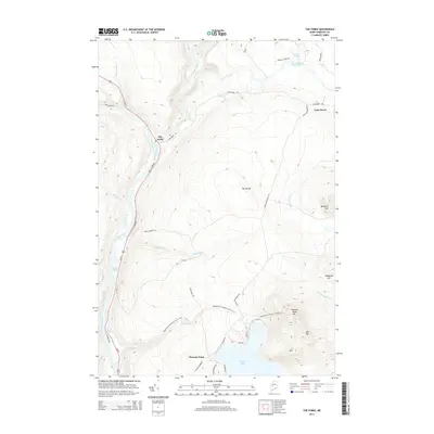
2014 Map of The Forks
USGS Topo · Published 2014About this map
The Forks marks the confluence where the Dead River joins the Kennebec River, a historic junction for river drivers and modern recreation alike. This 2014 survey captures the corridor along Us 201 as it winds northward through Somerset County, shadowed by the high ridgeline of The Divide. To the east, the settlement of Lake Moxie sits near the headwaters of Mile Brook, while the southeastern corner is dominated by the sprawling waters of Pleasant Pond.
Find a feature on this map
43 named features on this map. Tap any name to fly to it.
Don’t see what you’re looking for? This feature index may not catch every label — zoom into the map to look around manually.
Map Details
Editions of this 2014 The Forks Map
This is the sole edition of this map. No revisions or reprints were ever made.
Other maps of this area

1903 · Bingham
USGS Topo · 1:62,500

1905 · Bingham
USGS Topo · 1:62,500

1905 · The Forks
USGS Topo · 1:62,500

1907 · The Forks
USGS Topo · 1:62,500

1925 · Pierce Pond
USGS Topo · 1:48,000

1927 · Pierce Pond
USGS Topo · 1:62,500

1928 · Dead River
USGS Topo · 1:62,500

1931 · Dead River
USGS Topo · 1:48,000

1944 · Dead River
USGS Topo · 1:62,500

1944 · Pierce Pond
USGS Topo · 1:62,500