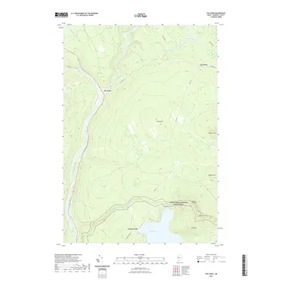
2021 Map of The Forks
USGS Topo · Published 2021About this map
The Forks serves as a central point of reference in this interior Somerset County landscape, where the confluence of major waterways and high peaks dictates the layout of the land. The Appalachian National Scenic Trail winds through the southern portion of the map, crossing over the heights of Pleasant Pond Mtn and Mid Mtn before descending toward the shores of Pleasant Pond. This area is defined by its dramatic relief and significant water features, including the notable Moxie Falls along Moxie Stream and the elevated waters of Prescott Pond and Lake Moxie to the northeast. Historical access routes like Boise Rd and Fish Pond Rd provide the primary corridor through the timbered terrain. The arrangement of features like The Divide and Mosquito Mtn highlights the complex topography that has long influenced the logging and outdoor traditions of this Maine wilderness.
Find a feature on this map
27 named features on this map. Tap any name to fly to it.
Don’t see what you’re looking for? This feature index may not catch every label — zoom into the map to look around manually.
Map Details
Editions of this 2021 The Forks Map
This is the sole edition of this map. No revisions or reprints were ever made.
Other maps of this area

1903 · Bingham
USGS Topo · 1:62,500

1905 · Bingham
USGS Topo · 1:62,500

1905 · The Forks
USGS Topo · 1:62,500

1907 · The Forks
USGS Topo · 1:62,500

1925 · Pierce Pond
USGS Topo · 1:48,000

1927 · Pierce Pond
USGS Topo · 1:62,500

1928 · Dead River
USGS Topo · 1:62,500

1931 · Dead River
USGS Topo · 1:48,000

1944 · Dead River
USGS Topo · 1:62,500

1944 · Pierce Pond
USGS Topo · 1:62,500