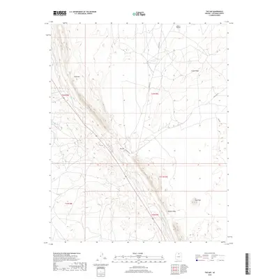
2018 Map of The Gap
USGS Topo · Published 2018About this map
Echo Cliffs dominate the western landscape of this northern Arizona terrain, forming a dramatic geological divide that separates the lowlands from the elevated Kaibito Plateau to the northeast. The settlement of The Gap serves as a central waypoint along the primary north-south corridor, where the natural drainage of Hamblin Wash follows the base of the cliffs.
Find a feature on this map
17 named features on this map. Tap any name to fly to it.
Don’t see what you’re looking for? This feature index may not catch every label — zoom into the map to look around manually.
Map Details
Editions of this 2018 The Gap Map
This is the sole edition of this map. No revisions or reprints were ever made.
Other maps of this area

1886 · Echo Cliffs
USGS Topo · 1:250,000

1891 · Echo Cliffs
USGS Topo · 1:250,000

1954 · Shinumo Altar NE
USGS Topo · 1:24,000

1954 · Shinumo Altar SE
USGS Topo · 1:24,000

1954 · Shinumo Altar
USGS Topo · 1:62,500

1955 · Blue Spring NE
USGS Topo · 1:24,000

1955 · Moa Ave NW
USGS Topo · 1:24,000

1955 · Blue Spring
USGS Topo · 1:62,500

1956 · Marble Canyon
USGS Topo · 1:250,000
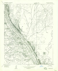
1957 · The Gap SW
USGS Topo · 1:24,000