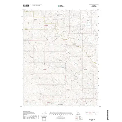
2021 Map of The Geysers
USGS Topo · Published 2021About this map
The Mayacmas Mountains dominate this region where Lake, Mendocino, and Sonoma counties converge. The rugged landscape is defined by its hydrothermal and mineral character, anchored by The Geysers and the settlement of Mercuryville, a name that points to the area's history of quicksilver mining. To the north, Glenbrook and Caldwell Pines sit at higher elevations near Cobb Valley, where the Cobb Cem provides a focal point for genealogical research.
Find a feature on this map
76 named features on this map. Tap any name to fly to it.
Don’t see what you’re looking for? This feature index may not catch every label — zoom into the map to look around manually.
Map Details
Editions of this 2021 The Geysers Map
This is the sole edition of this map. No revisions or reprints were ever made.
Other maps of this area

1920 · Healdsburg
USGS Topo · 1:62,500

1921 · Kelseyville
USGS Topo · 1:62,500

1927 · Calistoga
USGS Topo · 1:62,500

1933 · Healdsburg
USGS Topo · 1:48,000

1940 · Healdsburg
USGS Topo · 1:62,500

1943 · Calistoga
USGS Topo · 1:62,500

1943 · Kelseyville
USGS Topo · 1:62,500

1945 · Calistoga
USGS Topo · 1:62,500

1945 · Lower Lake
USGS Topo · 1:62,500

1947 · Santa Rosa
USGS Topo · 1:250,000