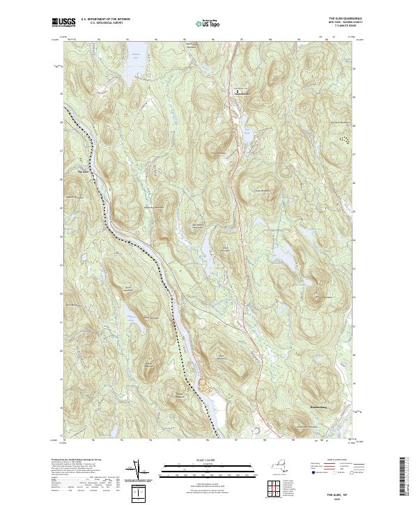
2023 Map of The Glen
USGS Topo · Published 2023About this map
The Hudson River and the Schroon River converge in the southern reaches of this Warren County landscape, defining a topography dominated by Adirondack peaks and glacial water bodies. The settlement of Warrensburg anchors the southeast corner, while the small community of The Glen sits further upriver, marking a point where the terrain rises sharply into Dippikill Mountain and Deadwood Mountain. To the north, the village of Darrowsville and its adjacent Darrowsville Cem provide clear points of interest for genealogists tracing local families.
Find a feature on this map
83 named features on this map. Tap any name to fly to it.
Don’t see what you’re looking for? This feature index may not catch every label — zoom into the map to look around manually.
Map Details
Editions of this 2023 The Glen Map
This is the sole edition of this map. No revisions or reprints were ever made.
Other maps of this area

1895 · North Creek
USGS Topo · 1:62,500

1895 · Glens Falls
USGS Topo · 1:62,500

1897 · Bolton
USGS Topo · 1:62,500

1897 · Glens Falls
USGS Topo · 1:62,500

1897 · North Creek
USGS Topo · 1:62,500

1900 · Bolton
USGS Topo · 1:62,500

1903 · Luzerne
USGS Topo · 1:62,500

1938 · Glens Falls
USGS Topo · 1:62,500

1947 · Glens Falls
USGS Topo · 1:62,500

1950 · Glens Falls
USGS Topo · 1:250,000