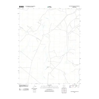
2010 Map of The Hogback South
USGS Topo · Published 2010About this map
Chaco River and its seasonal drainage network define this high-desert landscape in the Shiprock Agency region. This 2010 topographic survey documents a primarily rural and open environment where water remains the primary shaping force of the terrain. Narrow corridors of travel, including Indian Service Route 5083 and Yazzie Skyline Rd, provide access across the arid plains, tracing the subtle elevations above the Coal Creek and Cottonwood Arroyo drainages. The map reveals the sparsely settled character of the area during the early 21st century, where human presence is marked by these service roads and the occasional utility line rather than dense township development. It is an essential document for understanding the modern hydraulic and transportation infrastructure in a historically significant portion of the Navajo Nation.
Find a feature on this map
7 named features on this map. Tap any name to fly to it.
Don’t see what you’re looking for? This feature index may not catch every label — zoom into the map to look around manually.
Map Details
Editions of this 2010 The Hogback South Map
This is the sole edition of this map. No revisions or reprints were ever made.
Other maps of this area

1889 · Chaco
USGS Topo · 1:250,000

1892 · Chaco
USGS Topo · 1:250,000

1927 · Sulphur Spring
USGS Topo · 1:96,000

1928 · Kirtland
USGS Topo · 1:125,000

1932 · Kirtland
USGS Topo · 1:125,000

1954 · Shiprock
USGS Topo · 1:250,000

1958 · Shiprock
USGS Topo · 1:250,000

1959 · Shiprock
USGS Topo · 1:250,000
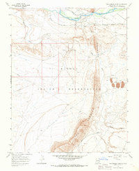
1966 · The Hogback North
USGS Topo · 1:24,000
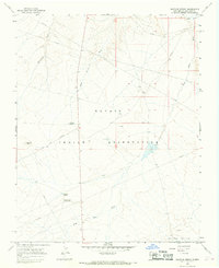
1966 · Sulphur Spring
USGS Topo · 1:24,000