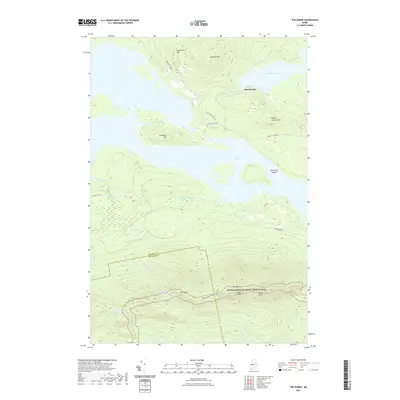
2021 Map of The Horns
USGS Topo · Published 2021About this map
Mt Bigelow and its prominent summits, West Peak and Avery Peak, anchor this detailed survey of the Maine backcountry. The landscape is defined by the sharp transition from high ridgelines to the expansive waters of Flagstaff Lake, which surrounds landmarks like Hurricane Island. The path of the Appalachian National Scenic Trail winds across the high ground, passing The Horns Pond and the eponymous peaks of The Horns.
Find a feature on this map
29 named features on this map. Tap any name to fly to it.
Don’t see what you’re looking for? This feature index may not catch every label — zoom into the map to look around manually.
Map Details
Editions of this 2021 The Horns Map
This is the sole edition of this map. No revisions or reprints were ever made.
Other maps of this area

1925 · Pierce Pond
USGS Topo · 1:48,000

1927 · Pierce Pond
USGS Topo · 1:62,500

1928 · Spencer
USGS Topo · 1:48,000

1928 · Dead River
USGS Topo · 1:62,500

1928 · Stratton
USGS Topo · 1:48,000

1931 · Dead River
USGS Topo · 1:48,000

1932 · Stratton
USGS Topo · 1:62,500

1932 · Spencer
USGS Topo · 1:62,500

1944 · Dead River
USGS Topo · 1:62,500

1944 · Pierce Pond
USGS Topo · 1:62,500
Featured Places
- Wyman Township, ME
- Dead River Township, ME
- Spring Lake Township, ME
- Bigelow Township, ME
- Flagstaff Township, ME