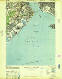
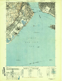
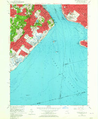
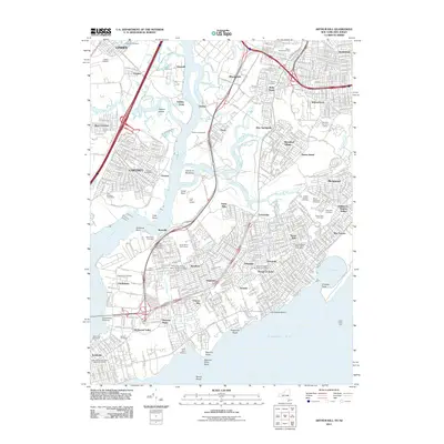
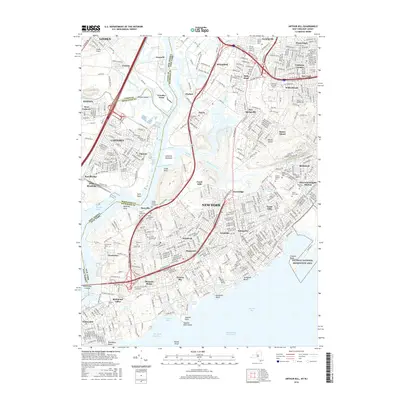
1947 Map of The Narrows
USGS Topo · Published 1947About this map
Fort Wadsworth and Fort Lafayette stand as sentinels overlooking the critical maritime corridor between Staten Island and Brooklyn during this mid-century period. The landscape is a mix of dense residential development and significant institutional footprints, including the Moravian Cemetery, the grounds of Wagner College, and the sprawling Miller Field U S Military Reservation. The shoreline is defined by recreational and social infrastructure, from the St Johns Seaside Hospital for Children to the beach communities of Midland Beach and Oakwood Beach. Inland, the Staten Island Rapid Transit line connects a series of established neighborhoods like Dongan Hills and Grasmere, while lighthouses and shoals such as Romer Shoal and Old Orchard Shoal mark the hazardous approach to the harbor.
Find a feature on this map
68 named features on this map. Tap any name to fly to it.
Don’t see what you’re looking for? This feature index may not catch every label — zoom into the map to look around manually.
Map Details
Editions of this 1947 The Narrows Map
2 editions found
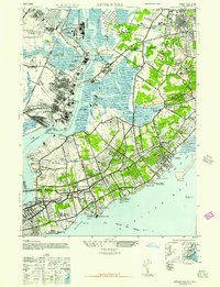
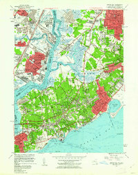
Historical Maps of New York Through Time
17 maps found
1947 Arthur Kill
Richmond County, NY
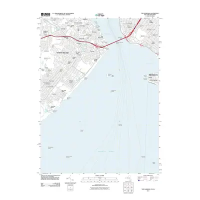
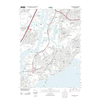
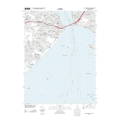
1947 The Narrows
Richmond County, NY
1955 Arthur Kill
Richmond County, NY
1955 The Narrows
Richmond County, NY
1966 Arthur Kill
Richmond County, NY
1966 The Narrows
Richmond County, NY
1998 The Narrows
Richmond County, NY
2011 Arthur Kill
Richmond County, NY
2011 The Narrows
Richmond County, NY
2013 Arthur Kill
Richmond County, NY
2013 The Narrows
Richmond County, NY
2016 Arthur Kill
Richmond County, NY
2016 The Narrows
Richmond County, NY
2019 Arthur Kill
Richmond County, NY
2019 The Narrows
Richmond County, NY
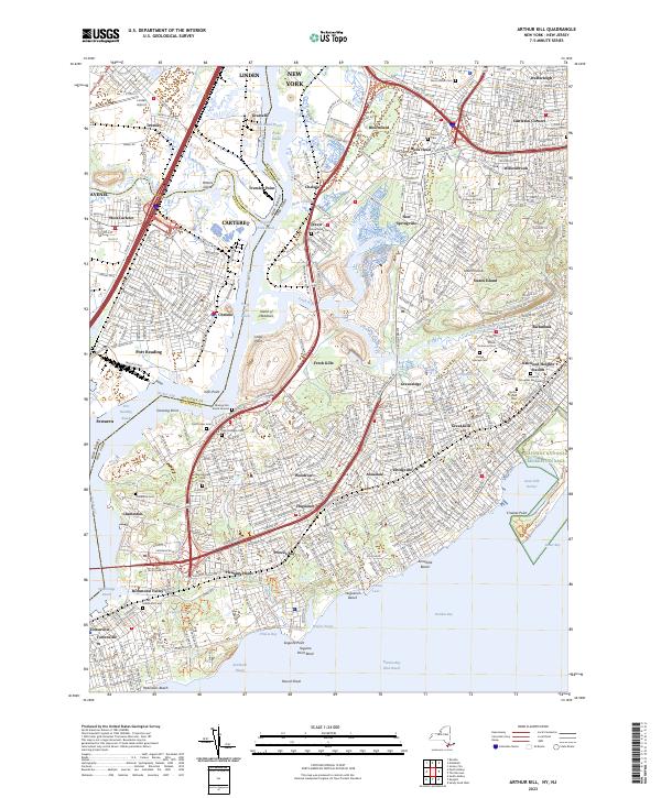
2023 Arthur Kill
Richmond County, NY

2023 The Narrows
Richmond County, NY