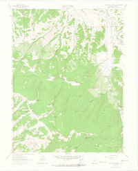
1962 Map of The Seven Hermits
USGS Topo · Published 1964About this map
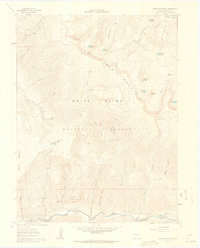
White River National Forest dominates this topographic study of the Eagle area, characterized by a complex network of high-elevation drainages and ridges. The terrain is defined by the massive presence of Hardscrabble Mountain and North Hardscrabble Mountain, alongside the distinctive formation known as The Seven Hermits. Water management for this high-country landscape is evident through remote catchments such as Mc Hatten Reservoir, Yates Reservoir, and Hells Hole Reservoir.
Find a feature on this map
51 named features on this map. Tap any name to fly to it.
Don’t see what you’re looking for? This feature index may not catch every label — zoom into the map to look around manually.
Map Details
Editions of this 1962 The Seven Hermits Map
4 editions found
Other maps of this area

1909 · Mount Jackson
USGS Topo · 1:125,000

1911 · Mount Jackson
USGS Topo · 1:125,000

1957 · Leadville
USGS Topo · 1:250,000

1959 · Leadville
USGS Topo · 1:250,000

1960 · Leadville
USGS Topo · 1:250,000
1961 · Toner Reservoir
USGS Topo · 1:24,000

1961 · Red Creek
USGS Topo · 1:24,000

1962 · Leadville
USGS Topo · 1:250,000

1962 · Gypsum
USGS Topo · 1:24,000
1962 · Suicide Mountain
USGS Topo · 1:24,000