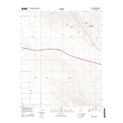
2015 Map of Thermal Canyon
USGS Topo · Published 2015About this map
Joshua Tree National Park occupies the northeastern reaches of this landscape, where the rugged southern edges of the Little San Bernardino Mountains descend toward the desert floor. The map highlights the critical water infrastructure supporting the arid Coachella Valley, notably the Colorado River Aqueduct as it snakes across the base of the mountains and the Coachella Canal in the southwest. Between these features, the Mecca Hills rise as a complex geological barrier, carved by drainages such as Thermal Canyon and Yellow Spots Canyon. This late-modern survey provides a clear view of the agricultural grid system south of 52nd Ave, where Wasteway Number Two facilitates irrigation management for the surrounding valley farms.
Find a feature on this map
27 named features on this map. Tap any name to fly to it.
Don’t see what you’re looking for? This feature index may not catch every label — zoom into the map to look around manually.
Map Details
Editions of this 2015 Thermal Canyon Map
This is the sole edition of this map. No revisions or reprints were ever made.
Other maps of this area
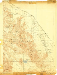
1904 · Indio
USGS Topo · 1:125,000
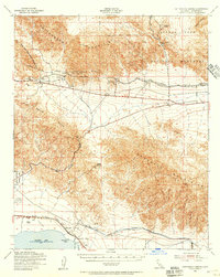
1940 · Cottonwood Spring
USGS Topo · 1:62,500
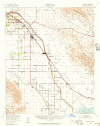
1941 · Coachella
USGS Topo · 1:62,500
1943 · Coachella
USGS Topo · 1:62,500
1943 · Pinkham Well
USGS Topo · 1:62,500
1944 · Cottonwood Spring
USGS Topo · 1:62,500
1944 · Pinkham Well
USGS Topo · 1:62,500
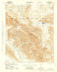
1944 · Pinyon Well
USGS Topo · 1:62,500
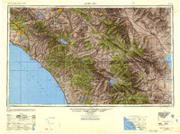
1947 · Santa Ana
USGS Topo · 1:250,000
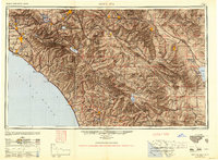
1949 · Santa Ana
USGS Topo · 1:250,000