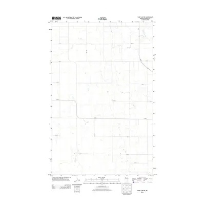
2013 Map of Thief Lake NE
USGS Topo · Published 2013About this map
S Fork Roseau River winds through the northeast corner of this remote Roseau County landscape, defined by a rigid grid of rural roads and drainage patterns. The area is dominated by agricultural and open land, segmented by routes like 360th Ave and Co Hwy-4. For local historians and genealogists, the Oak Hill Cem stands as a primary point of interest, located along 230th St near the intersection with Mn-89. This modern survey by the U.S. Geological Survey preserves the layout of the region's rural section lines and transport network as they existed in the early twenty-first century.
Find a feature on this map
12 named features on this map. Tap any name to fly to it.
Don’t see what you’re looking for? This feature index may not catch every label — zoom into the map to look around manually.
Map Details
Editions of this 2013 Thief Lake NE Map
This is the sole edition of this map. No revisions or reprints were ever made.
Other maps of this area
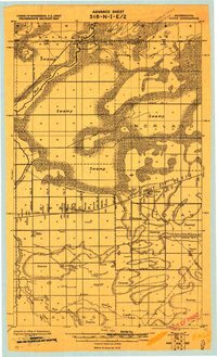
1918 · Goos
USGS Topo · 1:62,500
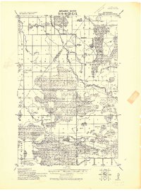
1918 · Pencer
USGS Topo · 1:62,500
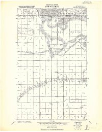
1918 · Roseau
USGS Topo · 1:62,500
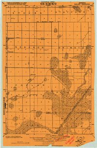
1918 · Garland
USGS Topo · 1:62,500
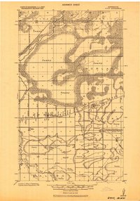
1943 · Goos
USGS Topo · 1:62,500

1954 · Roseau
USGS Topo · 1:250,000

1957 · Roseau
USGS Topo · 1:250,000

1958 · Roseau
USGS Topo · 1:250,000
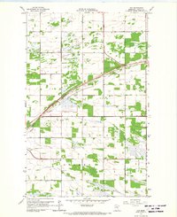
1966 · Fox
USGS Topo · 1:24,000
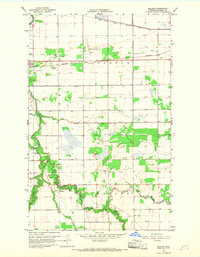
1966 · Malung
USGS Topo · 1:24,000