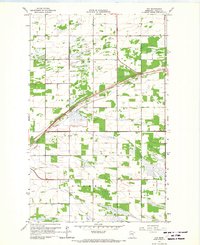
1966 Map of Fox
USGS Topo · Published 1967About this map
Stokes and Ross townships define this northwestern Minnesota landscape as it appeared in the mid-1960s. The region is marked by an extensive drainage network, including County Ditch No 16 and the Great Northern Ditch, engineered to manage the low-lying terrain near Badger Creek. The community of Fox serves as a central point along the Great Northern railroad, which cuts diagonally across the prairie. This survey reflects a period of established rural infrastructure, showing the local Townhall and the Opdahl Cem south of the tracks. The map is particularly notable for its meticulous recording of property boundaries and field lines, visualized through photogrammetric methods from 1965 aerial photography, providing a clear record of the area's agricultural footprint before modern consolidations.
Find a feature on this map
11 named features on this map. Tap any name to fly to it.
Don’t see what you’re looking for? This feature index may not catch every label — zoom into the map to look around manually.
Map Details
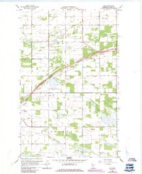
Editions of this 1966 Fox Map
2 editions found
Other maps of this area

1918 · Roseau
USGS Topo · 1:62,500

1918 · Garland
USGS Topo · 1:62,500

1918 · Greenbush
USGS Topo · 1:62,500

1919 · Badger
USGS Topo · 1:62,500

1952 · Thief River Falls
USGS Topo · 1:250,000

1954 · Roseau
USGS Topo · 1:250,000

1956 · Thief River Falls
USGS Topo · 1:250,000

1957 · Roseau
USGS Topo · 1:250,000

1957 · Thief River Falls
USGS Topo · 1:250,000

1958 · Roseau
USGS Topo · 1:250,000