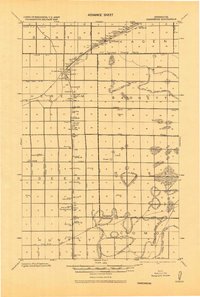
1918 Map of Greenbush
USGS Topo · Published 1943About this map
The Great Northeastern railroad corridor dictates the settlement pattern of this rural landscape, anchoring the growing villages of Greenbush and Strathcona along its north-south route. Compiled during the First World War, the map reveals a region defined by large-scale drainage projects like the State Lateral System No. 91 and numerous named ditches such as Ditch "A" and Ditch "B", essential for reclaiming the low-lying terrain near the Roseau and Marshall County line. The survey captures the intricate network of the Swamp Limits Original Survey, contrasting the engineered waterways with the natural marshy ground. Rural life is well-documented through the placement of Church sites and a dense distribution of local schoolhouses, including School 11 and School 14, which served the farming families established in townships like Barton and Huss. Small post offices such as Herb and Huss mark vanishing points of local commerce in the early twentieth century.
Find a feature on this map
53 named features on this map. Tap any name to fly to it.
Don’t see what you’re looking for? This feature index may not catch every label — zoom into the map to look around manually.
Map Details
Editions of this 1918 Greenbush Map
This is the sole edition of this map. No revisions or reprints were ever made.
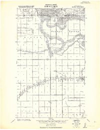
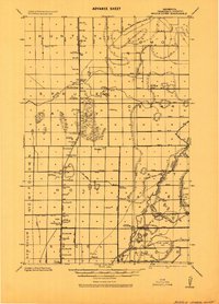
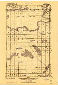
Other maps of this area

1918 · Rollis
USGS Topo · 1:62,500
1918 · Roseau
USGS Topo · 1:62,500

1918 · Garland
USGS Topo · 1:62,500
1918 · Middle River
USGS Topo · 1:62,500

1919 · Pelan
USGS Topo · 1:62,500
1919 · Badger
USGS Topo · 1:62,500

1930 · Juneberry
USGS Topo · 1:31,680

1932 · Juneberry
USGS Topo · 1:62,500

1943 · Rollis
USGS Topo · 1:62,500

1952 · Thief River Falls
USGS Topo · 1:250,000