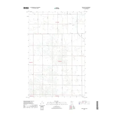
2019 Map of Thief Lake NE
USGS Topo · Published 2019About this map
Roseau County terrain in this quadrangle is defined by a dense network of wetlands and seasonal ponds, particularly concentrated south of Co Rd 30. The landscape is structured by a strict rectilinear grid of rural roads and section lines, including 380th Ave and 350th Ave, which serve the agricultural parcels of Townships t161n r40w and t160n r40w. This 2019 survey shows the persistence of small family-centered landmarks in an otherwise sparsely populated region.
Find a feature on this map
28 named features on this map. Tap any name to fly to it.
Don’t see what you’re looking for? This feature index may not catch every label — zoom into the map to look around manually.
Map Details
Editions of this 2019 Thief Lake NE Map
This is the sole edition of this map. No revisions or reprints were ever made.
Other maps of this area
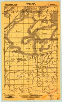
1918 · Goos
USGS Topo · 1:62,500
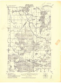
1918 · Pencer
USGS Topo · 1:62,500
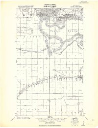
1918 · Roseau
USGS Topo · 1:62,500
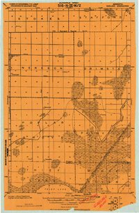
1918 · Garland
USGS Topo · 1:62,500
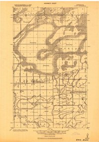
1943 · Goos
USGS Topo · 1:62,500

1954 · Roseau
USGS Topo · 1:250,000

1957 · Roseau
USGS Topo · 1:250,000

1958 · Roseau
USGS Topo · 1:250,000
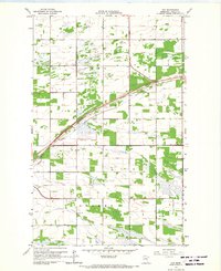
1966 · Fox
USGS Topo · 1:24,000
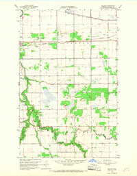
1966 · Malung
USGS Topo · 1:24,000