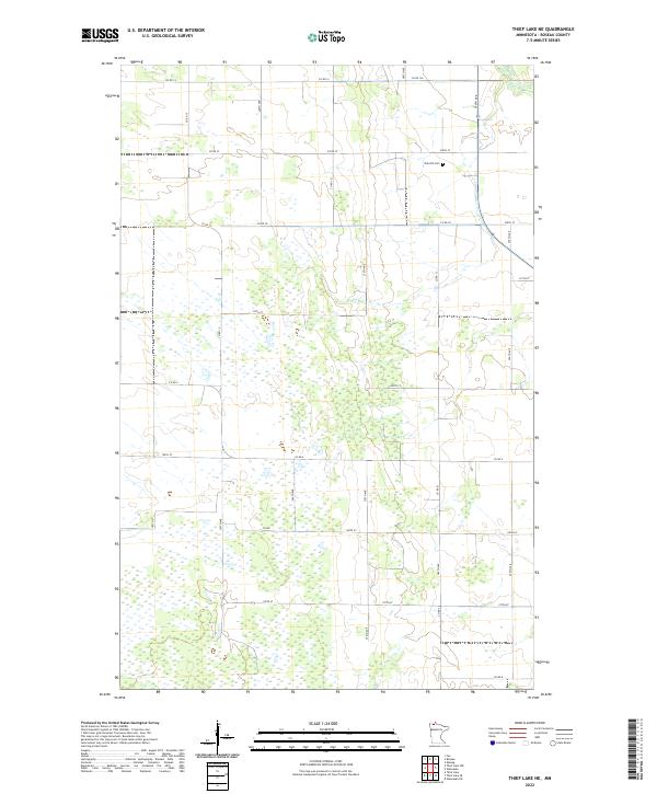
2022 Map of Thief Lake NE
USGS Topo · Published 2022About this map
Wetlands and marshy lowlands dominate this northern Minnesota landscape in Roseau County, where the terrain is defined by a sparse network of section-line roads and scattered water bodies. The northeastern corner of the map features Oak Hill Cem, a solitary landmark that serves as a focal point for genealogical interest in an otherwise unpopulated stretch of T161N R40W. The area is characterized by the transition between wooded patches and open marshes, typical of the Red River Valley’s eastern edge.
Find a feature on this map
28 named features on this map. Tap any name to fly to it.
Don’t see what you’re looking for? This feature index may not catch every label — zoom into the map to look around manually.
Map Details
Editions of this 2022 Thief Lake NE Map
This is the sole edition of this map. No revisions or reprints were ever made.
Other maps of this area

1918 · Goos
USGS Topo · 1:62,500

1918 · Pencer
USGS Topo · 1:62,500

1918 · Roseau
USGS Topo · 1:62,500

1918 · Garland
USGS Topo · 1:62,500

1943 · Goos
USGS Topo · 1:62,500

1954 · Roseau
USGS Topo · 1:250,000

1957 · Roseau
USGS Topo · 1:250,000

1958 · Roseau
USGS Topo · 1:250,000
1966 · Fox
USGS Topo · 1:24,000

1966 · Malung
USGS Topo · 1:24,000