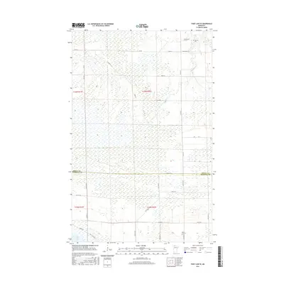
2016 Map of Thief Lake SE
USGS Topo · Published 2016About this map
Thief Lake and its surrounding wetlands define this northern Minnesota landscape along the border of Roseau and Marshall counties. This 2016 survey shows a largely undeveloped region characterized by an extensive grid of section lines and gravel access roads like Ridge Rd and Refuge Rd. These routes provide access to the conservation areas and small rural landmarks that dot the terrain. For genealogists and local historians, the map identifies specific points of local heritage, including Palmville Cem in the northeast near Reynolds Rd and Moose River Cem situated further south. The drainage patterns of the area are primarily represented by the winding Mickinock Cr, which snakes through the flat marshland, illustrating the complex hydrology of this part of the state before the landscape transitions toward more settled agricultural land.
Find a feature on this map
32 named features on this map. Tap any name to fly to it.
Don’t see what you’re looking for? This feature index may not catch every label — zoom into the map to look around manually.
Map Details
Editions of this 2016 Thief Lake SE Map
This is the sole edition of this map. No revisions or reprints were ever made.
Other maps of this area
1918 · Rollis
USGS Topo · 1:62,500
1918 · Pencer
USGS Topo · 1:62,500
1918 · Garland
USGS Topo · 1:62,500
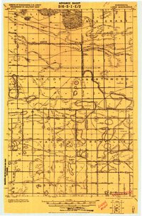
1919 · Liner
USGS Topo · 1:62,500
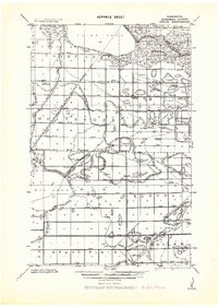
1943 · Rollis
USGS Topo · 1:62,500

1954 · Roseau
USGS Topo · 1:250,000

1957 · Roseau
USGS Topo · 1:250,000

1958 · Roseau
USGS Topo · 1:250,000
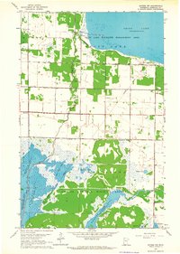
1962 · Gatzke NW
USGS Topo · 1:24,000
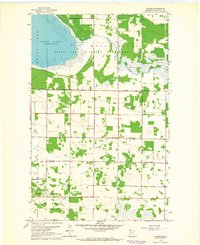
1962 · Gatzke
USGS Topo · 1:24,000