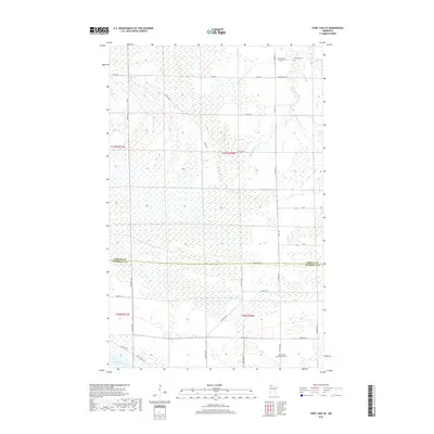
2019 Map of Thief Lake SE
USGS Topo · Published 2019About this map
Moose River Township Cem and Palmville Cem mark the settled landscape of this northern Minnesota borderland where Roseau and Marshall counties meet. The terrain is defined by the extensive wetlands and hydraulic systems of the Thief Lake Wildlife Management Area, with Thief Lake itself appearing in the southwestern corner. A series of drainage networks, including Mickinock Cr, traverse the low-lying ground, illustrating the complex water management required in this region. The section lines are traced by a grid of rural routes such as Cemetery Rd and Reynolds Rd, while Ridge Rd follows a slight elevation through the marshy expanse. This survey highlights the intersection of public conservation lands and early 20th-century township organization, evidenced by the scattered cemeteries and the designated Refuge Rd corridor serving the surrounding wilderness.
Find a feature on this map
34 named features on this map. Tap any name to fly to it.
Don’t see what you’re looking for? This feature index may not catch every label — zoom into the map to look around manually.
Map Details
Editions of this 2019 Thief Lake SE Map
This is the sole edition of this map. No revisions or reprints were ever made.
Other maps of this area
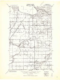
1918 · Rollis
USGS Topo · 1:62,500
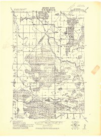
1918 · Pencer
USGS Topo · 1:62,500
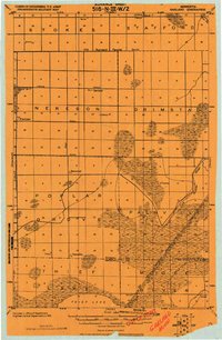
1918 · Garland
USGS Topo · 1:62,500
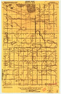
1919 · Liner
USGS Topo · 1:62,500
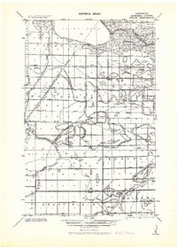
1943 · Rollis
USGS Topo · 1:62,500

1954 · Roseau
USGS Topo · 1:250,000

1957 · Roseau
USGS Topo · 1:250,000

1958 · Roseau
USGS Topo · 1:250,000
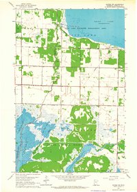
1962 · Gatzke NW
USGS Topo · 1:24,000
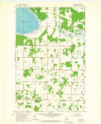
1962 · Gatzke
USGS Topo · 1:24,000