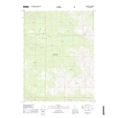
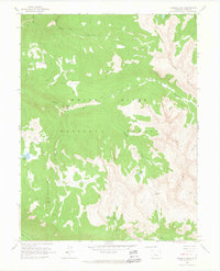
2019 Map of Thimble Rock
USGS Topo · Published 2019About this map
White River National Forest defines this high-altitude landscape in the Colorado Rockies, where complex drainage systems and mountain summits dominate the terrain. The northern section is shaped by the east-west flow of Woody Creek, while the central and southern portions are carved by Hunter Creek and its many tributaries, including Ptarmigan Creek and No Name Creek. This 2019 survey documents a wilderness area marked by prominent peaks such as Smuggler Mtn, Bald Knob, and the eponymous Thimble Rock. High-country meadows like Slab Park, Deer Park, and Hunter Flats break up the forested slopes. One of the few signs of subsurface engineering in this protected landscape is the Hunter Tunnel, which cuts through the mountain east of Midway Creek. To the south, the terrain drops toward the Roaring Fork River valley, while high-elevation water bodies like Warren Lakes and Midway Lake occupy the ridges below Midway Pass.
Find a feature on this map
37 named features on this map. Tap any name to fly to it.
Don’t see what you’re looking for? This feature index may not catch every label — zoom into the map to look around manually.
Map Details
Editions of this 2019 Thimble Rock Map
This is the sole edition of this map. No revisions or reprints were ever made.
Other maps of this area
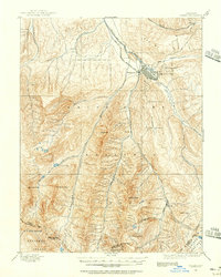
1893 · Aspen
USGS Topo · 1:62,500
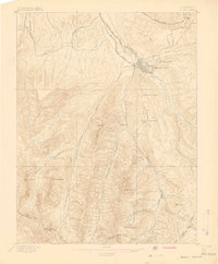
1895 · Aspen
USGS Topo · 1:62,500
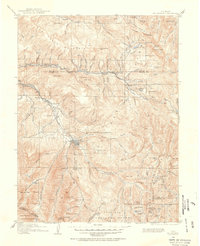
1909 · Mount Jackson
USGS Topo · 1:125,000
1911 · Mount Jackson
USGS Topo · 1:125,000

1957 · Leadville
USGS Topo · 1:250,000

1959 · Leadville
USGS Topo · 1:250,000
1960 · Leadville
USGS Topo · 1:250,000
1960 · Hayden Peak
USGS Topo · 1:24,000
1960 · New York Peak
USGS Topo · 1:24,000
1960 · Thimble Rock
USGS Topo · 1:24,000