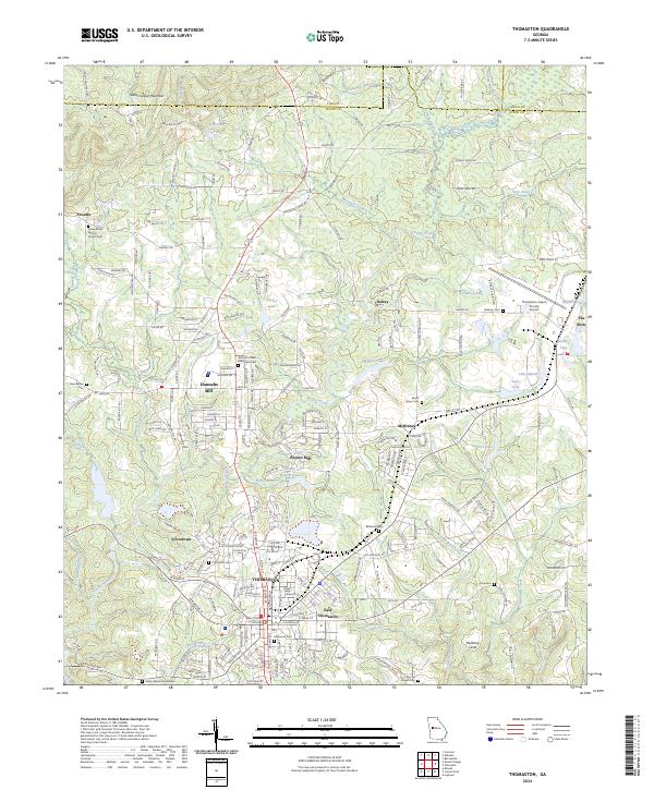
2024 Map of Thomaston
USGS Topo · Published 2024About this map
Thomaston serves as the focal point of this Central Georgia landscape, anchored by the Upson County Courthouse and the surrounding neighborhoods of East Thomaston and Silvertown. The map illustrates a region where water resources have long shaped local life, from the course of Potato Creek to historical sites like Hannahs Mill and Paynes Mill. This area is particularly rich for family history research, documenting numerous burial sites such as Valley Grove Baptist Church Cem, Antioch United Methodist Cem, and Glenwood Cem.
Find a feature on this map
252 named features on this map. Tap any name to fly to it.
Don’t see what you’re looking for? This feature index may not catch every label — zoom into the map to look around manually.
Map Details
Editions of this 2024 Thomaston Map
This is the sole edition of this map. No revisions or reprints were ever made.
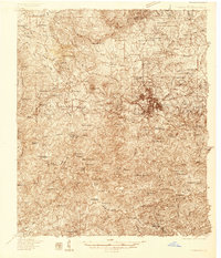
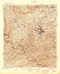
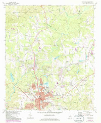
Historical Maps of Atwater Through Time
5 maps found