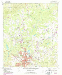
1971 Map of Thomaston
USGS Topo · Published 1986About this map
The textile and industrial character of central Georgia is evident in the 1970s landscape of Thomaston, centered on the historic Southern railroad corridor. The area shows significant residential and commercial growth, particularly around the mill village of Silvertown and the expansive East Thomaston district. Local industry is anchored by sites like the Triune Mill and the Filtration Plant, while the surrounding countryside maintains its agricultural and communal identity through numerous rural landmarks.
Find a feature on this map
128 named features on this map. Tap any name to fly to it.
Don’t see what you’re looking for? This feature index may not catch every label — zoom into the map to look around manually.
Map Details
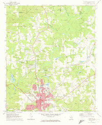
Editions of this 1971 Thomaston Map
2 editions found
Other maps of this area

1935 · Thomaston
USGS Topo · 1:48,000

1939 · Thomaston
USGS Topo · 1:62,500

1951 · Yatesville
USGS Topo · 1:62,500

1951 · Barnesville
USGS Topo · 1:62,500

1953 · Atlanta
USGS Topo · 1:250,000

1955 · Phenix City
USGS Topo · 1:250,000

1957 · Phenix City
USGS Topo · 1:250,000

1957 · Atlanta
USGS Topo · 1:250,000

1958 · Phenix City
USGS Topo · 1:250,000

1958 · Atlanta
USGS Topo · 1:250,000