Loading...
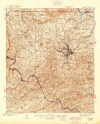
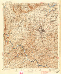
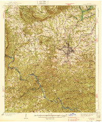
Loading map...1939 Map of Thomaston
USGS Topo · Published 1944About this map
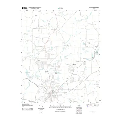
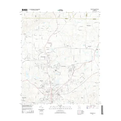
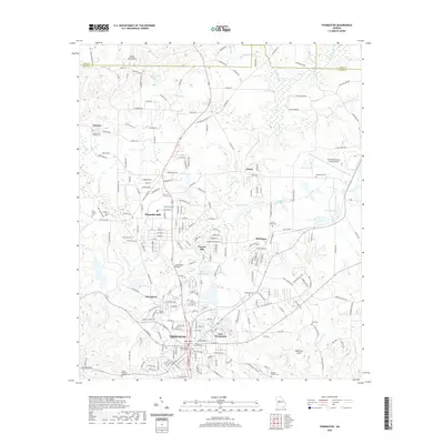
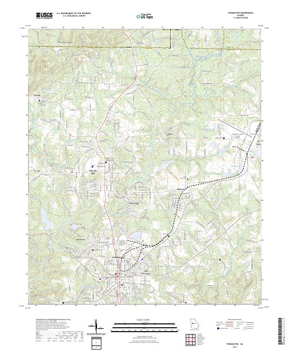
The industrial and agricultural landscape of central Georgia is centered around Thomaston, which by the mid-1930s had expanded to include Silvertown and East Thomaston. The Central of Georgia railroad provides the vital transit link for this region, connecting the urban core to outlying hamlets like McCrary Settlement and Woodall. To the west, the topography transitions toward the peaks of Pine Mountain and Spring Mtn, while the southern reaches are defined by the winding Flint River.
Find a feature on this map
118 named features on this map. Tap any name to fly to it.
Don’t see what you’re looking for? This feature index may not catch every label — zoom into the map to look around manually.
Map Details
Date Portrayed1939
Date Published1944
PublisherU.S. Geological Survey
Map TypeTopographic
Scale1:62,500
Physical Dimensions16.8 x 20.7 inches
Editions of this 1939 Thomaston Map
3 editions found
Historical Maps of Thomaston Through Time
9 maps found


Featured Locations
Source Details
SourceU.S. Geological Survey
CopyrightPublic Domain