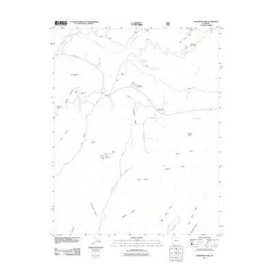
2011 Map of Thompson Park
USGS Topo · Published 2011About this map
Caviness Mountain and Menefee Peak anchor this rugged landscape in La Plata County, defined by a complex network of canyons and gulches. The terrain is deeply marked by its mining history, featuring a cluster of named operations such as the Red Arrow Mine, Willden Mine, and the Southern Cross Mine located west of Thompson Park. Water sources are vital features in this arid environment, with the East Mancos River and Cherry Creek cutting through the valleys, while localized landmarks like Valley View Spring and Sponsel Reservoir suggest the infrastructure needed for early ranching and extraction. The presence of the Thompson Park Cemetery near the center of the sheet provides a fixed point of reference for local genealogy, marking the community that once supported the surrounding West Mancos River Placers and individual claims like the Little Jim Mine.
Find a feature on this map
48 named features on this map. Tap any name to fly to it.
Don’t see what you’re looking for? This feature index may not catch every label — zoom into the map to look around manually.
Map Details
Editions of this 2011 Thompson Park Map
This is the sole edition of this map. No revisions or reprints were ever made.
Other maps of this area
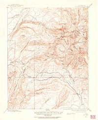
1895 · La Plata
USGS Topo · 1:62,500
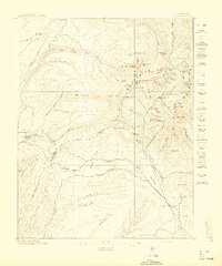
1897 · La Plata
USGS Topo · 1:62,500
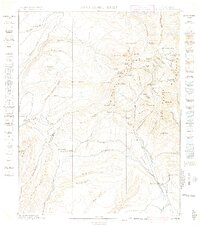
1899 · La Plata
USGS Topo · 1:62,500
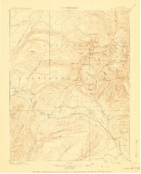
1908 · La Plata
USGS Topo · 1:62,500
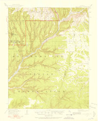
1912 · Soda Canyon
USGS Topo · 1:62,500
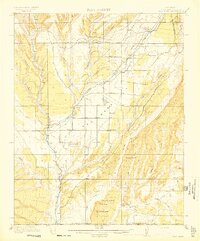
1913 · Red Mesa
USGS Topo · 1:62,500
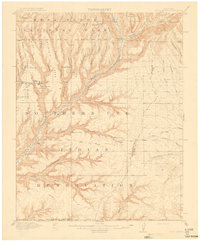
1915 · Soda Canyon
USGS Topo · 1:62,500
1956 · Cortez
USGS Topo · 1:250,000
1958 · Cortez
USGS Topo · 1:250,000
1959 · Cortez
USGS Topo · 1:250,000