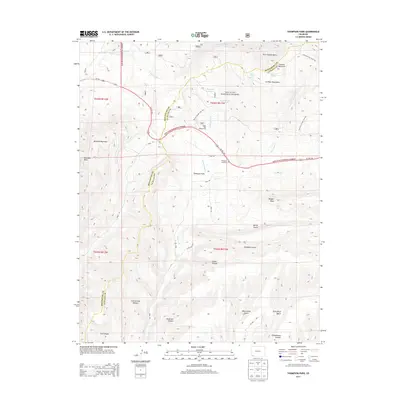
2013 Map of Thompson Park
USGS Topo · Published 2013About this map
San Juan National Forest defines the northern reaches of this landscape, where the La Plata Mountains rise sharply. The terrain is deeply incised by drainages like Cherry Cr and Cottonwood Cr, creating a network of ridges and basins such as Twin Canyon Basin and Schoolhouse Canyon. High points including Menefee Mountain and Menefee Peak overlook the central valley of Thompson Park. This area reveals a transition from the high-altitude forest to the complex gulches of the south, such as Deadman Gulch and Devils Canyon. Local history is anchored at the Thompson Park Cem and through various historical transport routes, including the Old Gold Run Trail 168 and the evocative Narrow Gauge Trail 373, reflecting the region's legacy of mountain passage and resource development.
Find a feature on this map
45 named features on this map. Tap any name to fly to it.
Don’t see what you’re looking for? This feature index may not catch every label — zoom into the map to look around manually.
Map Details
Editions of this 2013 Thompson Park Map
This is the sole edition of this map. No revisions or reprints were ever made.
Other maps of this area
1895 · La Plata
USGS Topo · 1:62,500
1897 · La Plata
USGS Topo · 1:62,500
1899 · La Plata
USGS Topo · 1:62,500
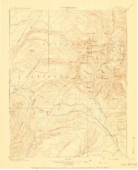
1908 · La Plata
USGS Topo · 1:62,500
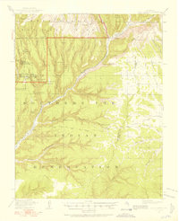
1912 · Soda Canyon
USGS Topo · 1:62,500
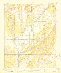
1913 · Red Mesa
USGS Topo · 1:62,500
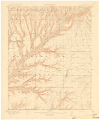
1915 · Soda Canyon
USGS Topo · 1:62,500
1956 · Cortez
USGS Topo · 1:250,000
1958 · Cortez
USGS Topo · 1:250,000
1959 · Cortez
USGS Topo · 1:250,000