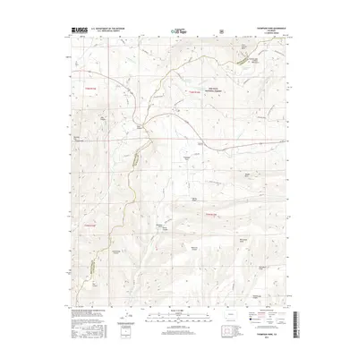
2016 Map of Thompson Park
USGS Topo · Published 2016About this map
Thompson Park sits at the high-elevation transition where the La Plata Mountains descend into canyon-carved terrain along the boundary of La Plata and Montezuma counties. This landscape is defined by the sharp relief of peaks such as Madden Peak and Menefee Mtn, alongside deep drainage systems like Joes Canyon and East Canyon. Water management is central to the area's development, evidenced by the Sponsel Reservoir and Cottonwood Reservoir which capture runoff from the San Juan National Forest.
Find a feature on this map
54 named features on this map. Tap any name to fly to it.
Don’t see what you’re looking for? This feature index may not catch every label — zoom into the map to look around manually.
Map Details
Editions of this 2016 Thompson Park Map
This is the sole edition of this map. No revisions or reprints were ever made.
Other maps of this area
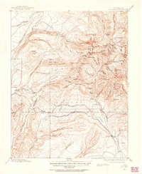
1895 · La Plata
USGS Topo · 1:62,500
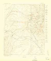
1897 · La Plata
USGS Topo · 1:62,500
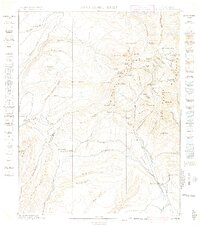
1899 · La Plata
USGS Topo · 1:62,500
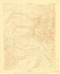
1908 · La Plata
USGS Topo · 1:62,500
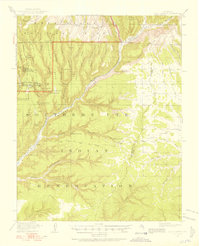
1912 · Soda Canyon
USGS Topo · 1:62,500
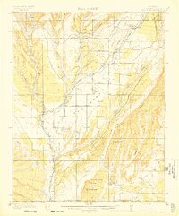
1913 · Red Mesa
USGS Topo · 1:62,500
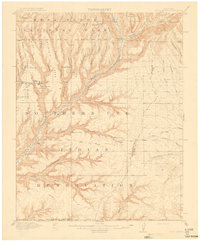
1915 · Soda Canyon
USGS Topo · 1:62,500
1956 · Cortez
USGS Topo · 1:250,000
1958 · Cortez
USGS Topo · 1:250,000
1959 · Cortez
USGS Topo · 1:250,000