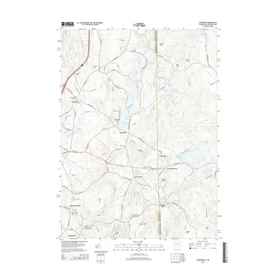
2015 Map of Thompson
USGS Topo · Published 2015About this map
The Fivemile River and its accompanying wetlands dominate this borderland where Connecticut meets Rhode Island. The landscape is a complex network of glacial ponds and man-made reservoirs, most notably the sprawling Quaddick Reservoir and Bowdish Reservoir. These water bodies and the varied terrain of Thompson Hill and Quaddick Mtn have historically influenced the settlement patterns of villages like Quaddick, Brandy Hill, and East Putnam.
Find a feature on this map
142 named features on this map. Tap any name to fly to it.
Don’t see what you’re looking for? This feature index may not catch every label — zoom into the map to look around manually.
Map Details
Editions of this 2015 Thompson Map
This is the sole edition of this map. No revisions or reprints were ever made.
Other maps of this area

1886 · Blackstone
USGS Topo · 1:62,500

1889 · Blackstone
USGS Topo · 1:62,500

1889 · Webster
USGS Topo · 1:62,500

1889 · Putnam
USGS Topo · 1:62,500

1889 · Burrillville
USGS Topo · 1:62,500

1892 · Webster
USGS Topo · 1:62,500

1893 · Putnam
USGS Topo · 1:62,500

1893 · Blackstone
USGS Topo · 1:62,500

1894 · Burrillville
USGS Topo · 1:62,500

1900 · Blackstone
USGS Topo · 1:62,500