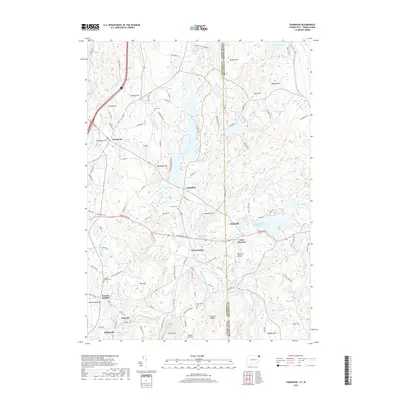
2018 Map of Thompson
USGS Topo · Published 2018About this map
Thompson Hill and the surrounding villages of Quaddick, East Putnam, and Putnam Heights anchor this borderland survey where the Connecticut-Rhode Island state line divides the landscape. The region is defined by a dense network of water bodies and hills, from Wallum Lake in the north to the Bowdish Reservoir and Clarkville Pond in the east. The Fivemile River and numerous smaller brooks like Sunset Hill Brook and Mary Brown Brook carve through the terrain, historically powering local industry as evidenced by Grist Mill Pond.
Find a feature on this map
128 named features on this map. Tap any name to fly to it.
Don’t see what you’re looking for? This feature index may not catch every label — zoom into the map to look around manually.
Map Details
Editions of this 2018 Thompson Map
This is the sole edition of this map. No revisions or reprints were ever made.
Other maps of this area

1886 · Blackstone
USGS Topo · 1:62,500

1889 · Blackstone
USGS Topo · 1:62,500

1889 · Webster
USGS Topo · 1:62,500

1889 · Putnam
USGS Topo · 1:62,500

1889 · Burrillville
USGS Topo · 1:62,500

1892 · Webster
USGS Topo · 1:62,500

1893 · Putnam
USGS Topo · 1:62,500

1893 · Blackstone
USGS Topo · 1:62,500

1894 · Burrillville
USGS Topo · 1:62,500

1900 · Blackstone
USGS Topo · 1:62,500