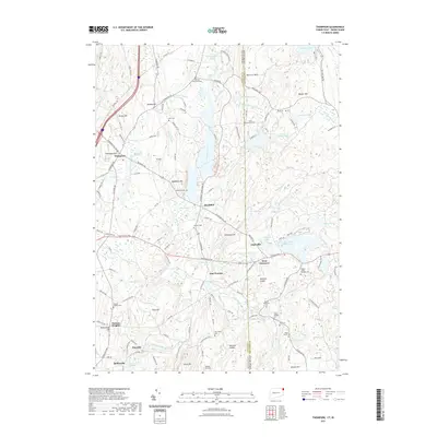
2021 Map of Thompson
USGS Topo · Published 2021About this map
Thompson and the surrounding borderlands of Windham County and Providence County exhibit a landscape of interconnected water bodies and early New England land divisions. The Fivemile River and Cady Brook drainage systems anchor the region's topography, feeding numerous basins like the Bowdish Reservoir and Aldrich Pond. This 2021 update reveals a complex network of historic land parcels such as the Clark-Sherman Lot and David Richmond Lot, preserving names that date back to earlier settlement patterns.
Find a feature on this map
152 named features on this map. Tap any name to fly to it.
Don’t see what you’re looking for? This feature index may not catch every label — zoom into the map to look around manually.
Map Details
Editions of this 2021 Thompson Map
This is the sole edition of this map. No revisions or reprints were ever made.
Other maps of this area

1886 · Blackstone
USGS Topo · 1:62,500

1889 · Blackstone
USGS Topo · 1:62,500

1889 · Webster
USGS Topo · 1:62,500

1889 · Putnam
USGS Topo · 1:62,500

1889 · Burrillville
USGS Topo · 1:62,500

1892 · Webster
USGS Topo · 1:62,500

1893 · Putnam
USGS Topo · 1:62,500

1893 · Blackstone
USGS Topo · 1:62,500

1894 · Burrillville
USGS Topo · 1:62,500

1900 · Blackstone
USGS Topo · 1:62,500