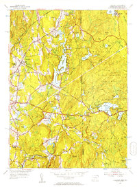
1955 Map of Thompson
USGS Topo · Published 1957About this map
Quaddick Reservoir serves as a central landmark in this borderland survey, where the rolling hills of northeastern Connecticut meet the Rhode Island line. The landscape is defined by its abundance of glacial ponds and narrow rivers, including the winding Fivemile River and the high waters of Wallum Lake. Small settlements and institutional grounds like Marianapolis College near Thompson Meadows illustrate a mid-century period when rural life and local education centers anchored these communities.
Find a feature on this map
59 named features on this map. Tap any name to fly to it.
Don’t see what you’re looking for? This feature index may not catch every label — zoom into the map to look around manually.
Map Details
Editions of this 1955 Thompson Map
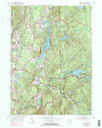
2 editions found
Other maps of this area

1886 · Blackstone
USGS Topo · 1:62,500

1889 · Blackstone
USGS Topo · 1:62,500

1889 · Webster
USGS Topo · 1:62,500

1889 · Putnam
USGS Topo · 1:62,500

1889 · Burrillville
USGS Topo · 1:62,500

1892 · Webster
USGS Topo · 1:62,500

1893 · Putnam
USGS Topo · 1:62,500

1893 · Blackstone
USGS Topo · 1:62,500

1894 · Burrillville
USGS Topo · 1:62,500

1900 · Blackstone
USGS Topo · 1:62,500