1992 Map of Thornville
USGS Topo · Published 1995About this map
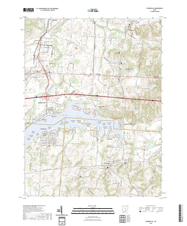
Buckeye Lake dominates the central landscape of this Licking, Fairfield, and Perry County border region, serving as a primary focal point for recreation and community development. The map details the dense cluster of islands and points within the reservoir, including Custers Point and Orchard Island, alongside the unique Cranberry Bog Nature Preserve. To the north and south, the landscape transitions into a network of small settlements and rural crossroads like Thornville and Hebron, connected by a grid of local roads and the prominent Refugee Lands boundary line.
Find a feature on this map
67 named features on this map. Tap any name to fly to it.
Don’t see what you’re looking for? This feature index may not catch every label — zoom into the map to look around manually.
Map Details
Editions of this 1992 Thornville Map
This is the sole edition of this map. No revisions or reprints were ever made.
Historical Maps of Heath Through Time
4 maps found