Loading...
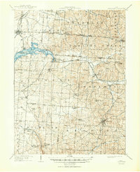
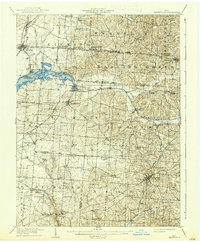
Loading map...1909 Map of Thornville
USGS Topo · Published 1950About this map
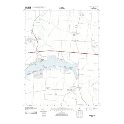
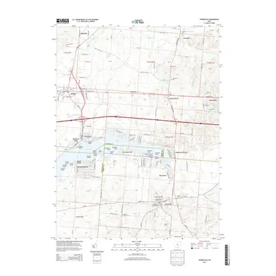
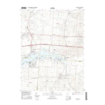
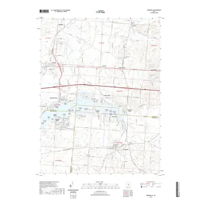
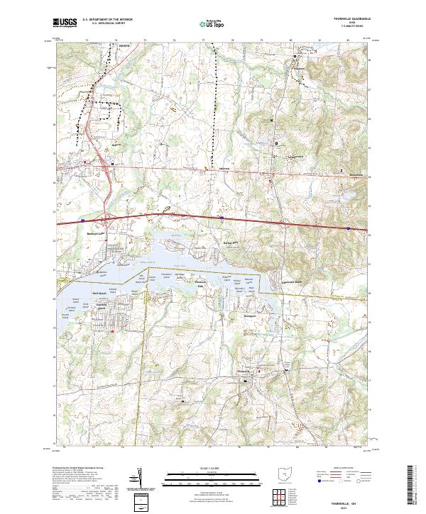
Buckeye Lake dominates the northwest quadrant of this landscape, its waters framed by the Licking and Fairfield county lines and early recreational points like Shell Beach. The area reflects a complex transit history, where the ancient path of the National Road passes through Hebron and Jacksontown while the Ohio Electric RR and Baltimore and Ohio RR connect smaller rail-dependent hamlets such as Thornville Sta and Glenford.
Find a feature on this map
86 named features on this map. Tap any name to fly to it.
Don’t see what you’re looking for? This feature index may not catch every label — zoom into the map to look around manually.
Map Details
Date Portrayed1909
Date Published1950
PublisherU.S. Geological Survey
Map TypeTopographic
Scale1:62,500
Physical Dimensions17 x 20.8 inches
Editions of this 1909 Thornville Map
2 editions found
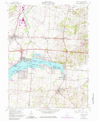
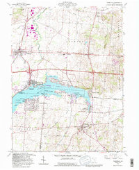
Historical Maps of Heath Through Time
8 maps found
Featured Locations
Source Details
SourceU.S. Geological Survey
CopyrightPublic Domain