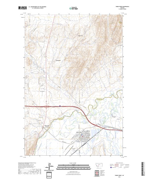
2024 Map of Three Forks
USGS Topo · Published 2024About this map
The confluence of the Jefferson River and Madison River anchors this study of the Gallatin Valley, where the settlement of Three Forks serves as a critical junction for regional travel and irrigation. The map reveals a complex water management system essential to the high plains, featuring the Lower Jefferson Ditch, Francis Walbert Ditch, and Darlington Ditch winding through the lowlands. To the north, the terrain rises toward Prospect Hill and the former mining area of Copper City, illustrating the transition from agricultural river bottoms to the mineral-rich uplands. Local aviation and commerce are central to the landscape, evidenced by Three Forks Airport and Hasskamp Airport. Modern residential expansion is visible in the network of roads near Wheatland, while the presence of Three Forks Junction and the Old Yellowstone Trail highlights the area's long-standing role as a gateway for travelers moving through southwest Montana.
Find a feature on this map
71 named features on this map. Tap any name to fly to it.
Don’t see what you’re looking for? This feature index may not catch every label — zoom into the map to look around manually.
Map Details
Editions of this 2024 Three Forks Map
This is the sole edition of this map. No revisions or reprints were ever made.
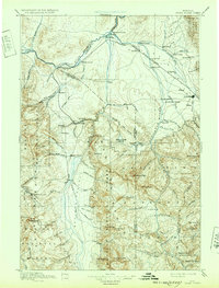
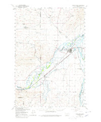
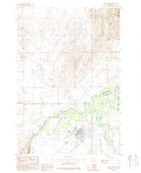
Historical Maps of Three Forks Junction Through Time
6 maps found


Featured Locations
- Gallatin County, MT
- Three Forks, MT
- Copper City, MT
- Three Forks Junction, MT
- Murphys Trailer Court, Three Forks