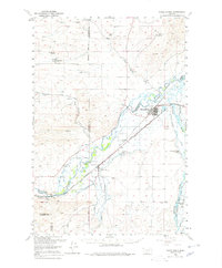
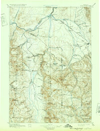
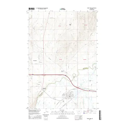
1950 Map of Three Forks
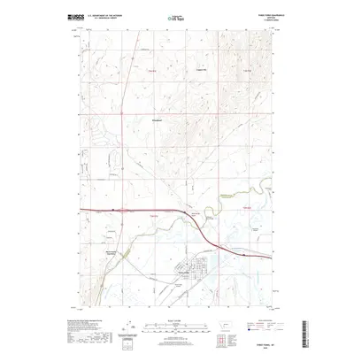
USGS Topo · Published 1978About this map
The convergence of three major rivers—the Jefferson River, Madison River, and Gallatin River—dominates this mid-century landscape at Three Forks. This area serves as a critical junction for the region's transportation and agricultural infrastructure. The rail lines of the Milwaukee Road, the Chicago Milwaukee St Paul and Pacific, and the Northern Pacific converge near the town, highlighting the importance of rail transit in the 1950s.
Find a feature on this map
48 named features on this map. Tap any name to fly to it.
Don’t see what you’re looking for? This feature index may not catch every label — zoom into the map to look around manually.
Map Details
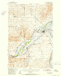
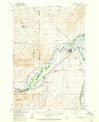
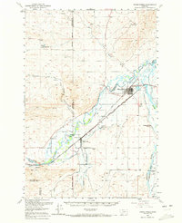
Editions of this 1950 Three Forks Map
4 editions found
Historical Maps of Three Forks Through Time
10 maps found

1888 Three Forks
Gallatin County, MT

1894 Three Forks
Gallatin County, MT
1895 Three Forks
Gallatin County, MT
1950 Three Forks
Gallatin County, MT
1987 Three Forks
Gallatin County, MT
2011 Three Forks
Gallatin County, MT
2014 Three Forks
Gallatin County, MT
2017 Three Forks
Gallatin County, MT
2020 Three Forks
Gallatin County, MT
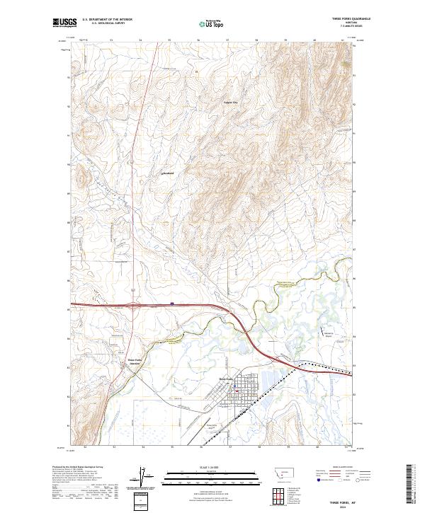
2024 Three Forks
Gallatin County, MT
Featured Locations
- Willow Creek, MT
- Three Forks, MT
- Copper City, MT
- Three Forks Junction, MT
- Murphys Trailer Court, Three Forks