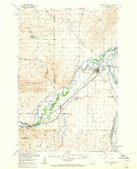
1950 Map of Three Forks
USGS Topo · Published 1961About this map
Three Forks sits at the hydrologic heart of Montana, where the confluence of the Jefferson River, Madison River, and Missouri River defines the landscape. This mid-century survey illustrates a complex web of water management and transportation essential to the ranching economy. A dense network of irrigation channels like the Francis Ditch and Walbert Ditch crisscrosses the river valleys, supporting prominent operations such as the Climbing Arrow Ranch and Buttleman Ranch. The infrastructure of the era is anchored by two major rail lines: the Northern Pacific and the Chicago Milwaukee St Paul and Pacific, which intersect near the town center. Local history is preserved in rural landmarks including Jefferson Sch, Mt Green Cem, and the Stateler Monument, while industrial activity is noted at the Mine (Open Pit) Copper City and various Gravel Pits along the riverbanks.
Find a feature on this map
57 named features on this map. Tap any name to fly to it.
Don’t see what you’re looking for? This feature index may not catch every label — zoom into the map to look around manually.
Map Details
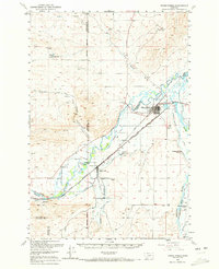
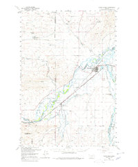
Editions of this 1950 Three Forks Map
4 editions found

Other maps of this area

1886 · Fort Logan
USGS Topo · 1:250,000

1888 · Three Forks
USGS Topo · 1:250,000

1894 · Three Forks
USGS Topo · 1:250,000

1895 · Three Forks
USGS Topo · 1:250,000

1947 · Bozeman
USGS Topo · 1:250,000

1948 · Bozeman
USGS Topo · 1:250,000

1948 · White Sulphur Springs
USGS Topo · 1:250,000

1949 · Radersburg
USGS Topo · 1:62,500

1949 · Anceney
USGS Topo · 1:62,500

1949 · Manhattan
USGS Topo · 1:62,500
Featured Places
- Three Forks, MT
- Three Forks Junction, MT
- Willow Creek, MT
- Copper City, MT
- Murphys Trailer Court, Three Forks