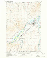
1950 Map of Three Forks
USGS Topo · Published 1972About this map
Three Forks sits at the vital hydraulic heart of the region where the Jefferson River, Madison River, and Missouri River converge. This 1950s era survey documents a landscape defined by its intricate water management and heavy rail infrastructure, supporting a mix of ranching and early mining. The Chicago Milwaukee St Paul and Pacific and Northern Pacific railroads dominate the valley floor, connecting the settlement at Willow Creek to industrial points like Ingleside Quarry and the Gravel Pits near the riverbanks. Beyond the town centers, family-named landmarks like Buttleman Ranch and Darlington Bros Ranch illustrate the agricultural footprint of the Gallatin Valley. Cultural markers, including the Stateler Monument and local schools like Lane Sch, provide essential touchpoints for genealogists tracing the mid-century community structure before later developments altered these rural corridors.
Find a feature on this map
44 named features on this map. Tap any name to fly to it.
Don’t see what you’re looking for? This feature index may not catch every label — zoom into the map to look around manually.
Map Details
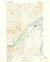
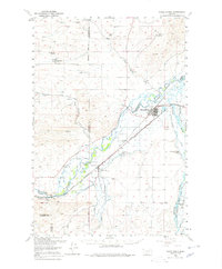
Editions of this 1950 Three Forks Map
4 editions found

Other maps of this area

1886 · Fort Logan
USGS Topo · 1:250,000

1888 · Three Forks
USGS Topo · 1:250,000

1894 · Three Forks
USGS Topo · 1:250,000

1895 · Three Forks
USGS Topo · 1:250,000

1947 · Bozeman
USGS Topo · 1:250,000

1948 · Bozeman
USGS Topo · 1:250,000

1948 · White Sulphur Springs
USGS Topo · 1:250,000

1949 · Radersburg
USGS Topo · 1:62,500

1949 · Anceney
USGS Topo · 1:62,500

1949 · Manhattan
USGS Topo · 1:62,500
Featured Places
- Three Forks, MT
- Three Forks Junction, MT
- Willow Creek, MT
- Copper City, MT
- Murphys Trailer Court, Three Forks