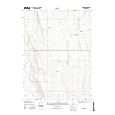
2013 Map of Three Forks
USGS Topo · Published 2013About this map
Three Forks and the nearby Red Cabin anchor this high-desert Owyhee County landscape, characterized by a complex network of seasonal drainages and springs. The terrain is defined by its water resources, with specific locations like Three Forks Meadow and Indian Hay Meadows indicating areas of grazing and riparian activity. A sophisticated system of Bureau of Indian Affairs routes, including 211 Bia and 16 Bia, alongside the Ryegrass Trl, provide the primary access through this remote territory.
Find a feature on this map
29 named features on this map. Tap any name to fly to it.
Don’t see what you’re looking for? This feature index may not catch every label — zoom into the map to look around manually.
Map Details
Editions of this 2013 Three Forks Map
This is the sole edition of this map. No revisions or reprints were ever made.
Other maps of this area

1936 · Mountain City
USGS Topo · 1:62,500

1939 · Owyhee
USGS Topo · 1:62,500

1940 · Mountain City
USGS Topo · 1:62,500

1942 · Owyhee
USGS Topo · 1:62,500

1955 · McDermitt
USGS Topo · 1:250,000

1955 · Jordan Valley
USGS Topo · 1:250,000

1955 · Twin Falls
USGS Topo · 1:250,000

1955 · Wells
USGS Topo · 1:250,000

1957 · Jordan Valley
USGS Topo · 1:250,000

1958 · Wells
USGS Topo · 1:250,000